


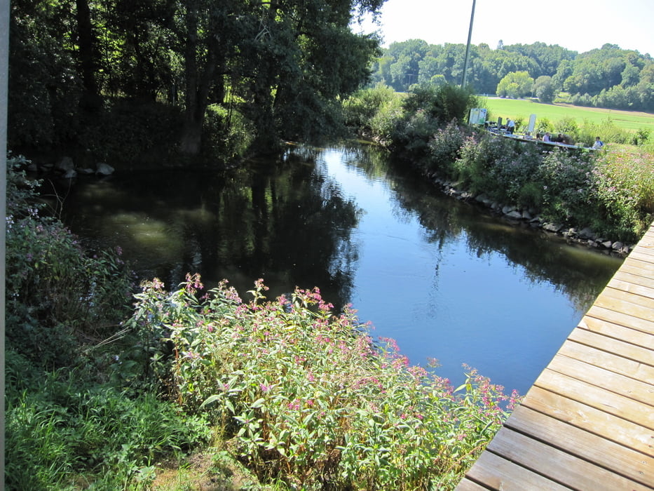
Den Main-Radweg haben wir im August 2012 gefahren. Landschaftlich sehr reizvoll und kaum Steigungen. Wir fuhren die Strecke auf vielfachen Rat flussaufwärts, da häufig Westwinde herrschen. Das traf bei uns jedoch nicht zu, wir hatten stetigen Ostwind. Aber nur auf der letzten Etappe bis nach Bayreuth empfanden wir das als hinderlich.
1. Etappe von Aschaffenburg nach Wertheim 80 km
2. Etappe von Wertheim nach Lohr 46 km
3. Etappe von Lohr nach Würzburg 61 km
4. Etappe von Würzburg nach Schweinfurt 90 km
5. Etappe von Schweinfurt nach Bamberg 68 km
6. Etappe von Bamberg nach Lichtenfels 50 km
7. Etappe von Lichtenfels nach Bayreuth 66 km
Further information at
http://www.mainradweg.com/Galeria trasy


Mapa trasy i profil wysokości
Minimum height 107 m
Maximum height 348 m
More about the tour author

|
manni-mammut |
Komentarze

Die Anfahrt erfolgte mit der Bahn bis nach Aschaffenburg. Einmal umsteigen in Mainz und schon waren wir stressfrei angekommen.
GPS tracks
Trackpoints-
GPX / Garmin Map Source (gpx) download
-
TCX / Garmin Training Center® (tcx) download
-
CRS / Garmin Training Center® (crs) download
-
Google Earth (kml) download
-
G7ToWin (g7t) download
-
TTQV (trk) download
-
Overlay (ovl) download
-
Fugawi (txt) download
-
Kompass (DAV) Track (tk) download
-
Karta trasy (pdf) download
-
Original file of the author (gpx) download
More about the tour author
|
|
manni-mammut |
Add to my favorites
Remove from my favorites
Edit tags
Open track
My score
Rate