Login

Zapomniałeś swój login?

Cookies have to be accepted!
Your browser's cookie functionality is disabled. Please enable this functionality.

Not a member yet?

Register now
Login

Available for registred users only

Log in to use this feature.

Zapomniałeś swój login?

Cookies have to be accepted!
Your browser's cookie functionality is disabled. Please enable this functionality.

Not a member yet?

Register now
Filter
Kategorie
Advanced filters
  • Długość (km)
  • Wysokość
Zapisz filtr Reset filter

TrackRank

QRCode

Technical data

Długość58,0 km Wysokość1493 m Way down1282 m Czas trwania1 day 0 h Data29.08.2012
Oceny Author Krajobraz Czynnik zadowolenia Kondycja Technika

Statystyka

2002 Widoki Oceny 148 Downloads / Pliki do pobrania Przeciętnie
Rate
  • Karta trasy
  • Dojazd
  • Downloads / Pliki do pobrania

08.08.2012Schwangau – Plansee – Eibsee – Ehrwald


      59,64km ; 1493 HM

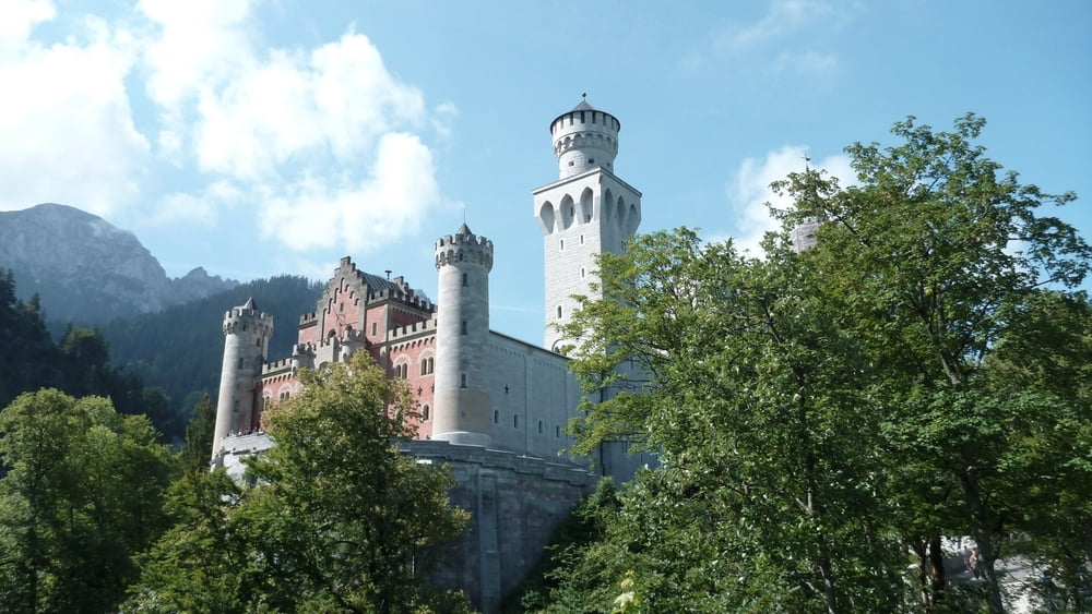
      Auffahrt nach Neuschwanstein, viele Leute, viel fahrbar. Entlang des Pöllatbaches auf dem Maximilianweg. Kaffe und Hefezopf auf der Jägerhütte.

      Schwerer, aber super Trail namens Schützensteig ins Tal. Auf der Strasse bis zum Plansee. Langer Panoramaweg auf Schotter entlang des Sees. Dann auf asphaltiertem Fahrradweg entlang der Strasse bis nach Griesen. Auf schmalem Schotterweg über Grainau zum kleinen Badersee mit riesigen Forellen.

      Weiter zum Eibsee auf Schotterwegen. Noch 450 HM bis zur Hochthörlehütte, danach rasante Abfahrt nach Ehrwald.

      Auf Empfehlung Einkehr in Mair´s Landgasthof, welcher erst vor 5 Wochen eröffnet hatte. Ansprechende Einrichtung, heiße Dusche und lecker Pfifferlinge mit Semmelknödel. Erschöpft geht’s früh zu Bett.


Galeria trasy

Mapa trasy i profil wysokości

  • Open Street Map
  • Google
Minimum height 750 m Maximum height 1513 m Widok szczegółowy

More about the tour author

Anonymous user

Komentarze

Leonagard on 21.06.2017

Reverse

Hi! Do you know if is that's possible to ride it bikepacking reverse route safe? What kind of terrain do you get a singletrack or more opened trail? Im just getting the part from Linderhof to Hohenschenwangau.

TY!

Anfahrt über Füssen bis zum Parkplatz Neuschwanstein.

Ansonsten mit der Bahn bis nach Füssen und dann per Bike.

GPS tracks

Trackpoints
  • GPX / Garmin Map Source (gpx) download
  • TCX / Garmin Training Center® (tcx) download
  • CRS / Garmin Training Center® (crs) download
  • Google Earth (kml) download
  • G7ToWin (g7t) download
  • TTQV (trk) download
  • Overlay (ovl) download
  • Fugawi (txt) download
  • Kompass (DAV) Track (tk) download
  • Karta trasy (pdf) download
  • Original file of the author (gpx) download

More about the tour author

Anonymous user

Share track
Add to my favorites
Remove from my favorites
Edit tags
My score
Rate
Trasa: Schwangau – Plansee – Eibsee – Ehrwald
Rodzaj: Rower górski (MTB)
Długość: 58,0 km
Evaluated on:
Czas trwania:
Day(s)
Hour(s)
Minute(s)
Ocena: Krajobraz Czynnik zadowolenia Kondycja Technika