


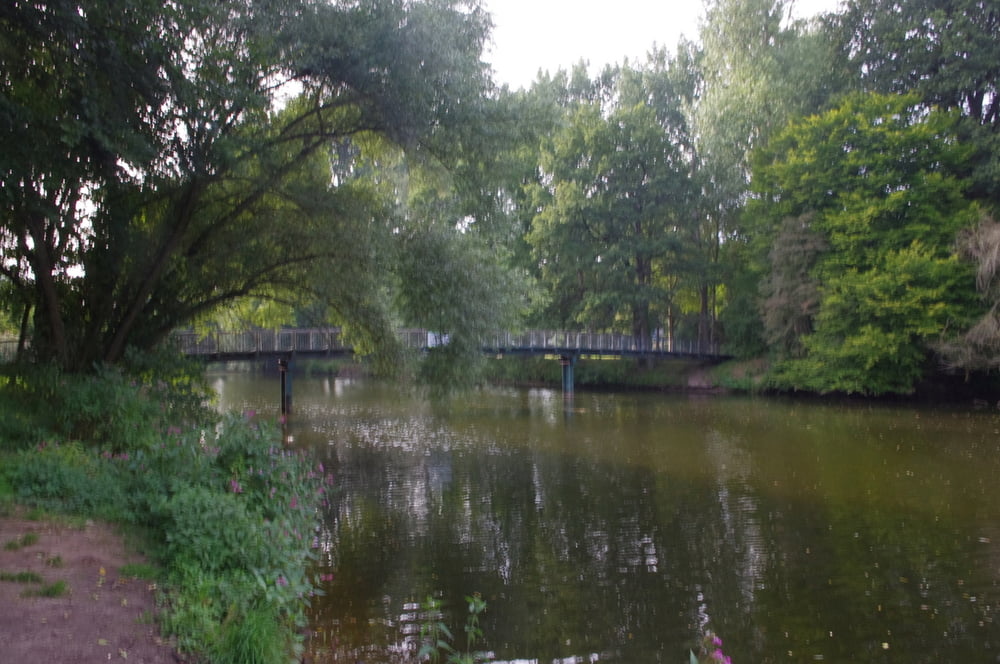
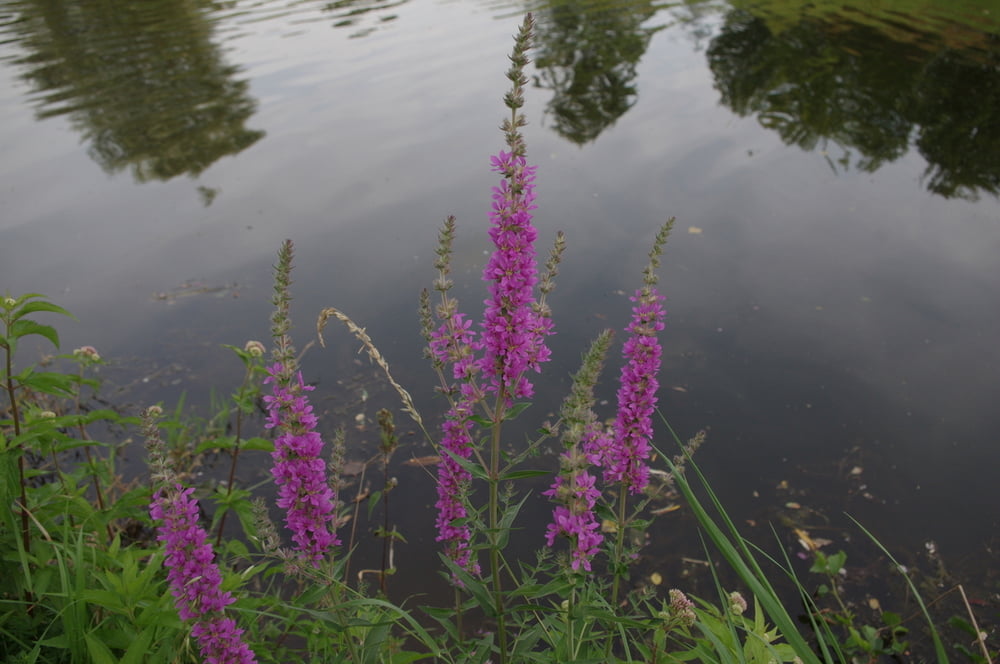
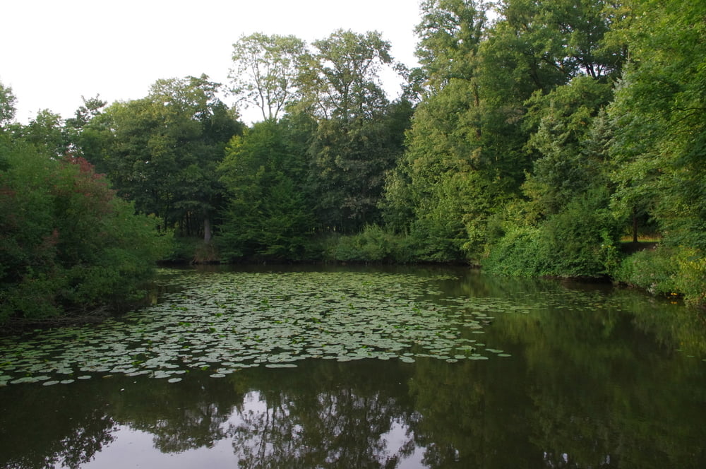
Wie am Tag zuvor an der Kirche vorbei über die Fußgängerbrücke. Dann aber nach rechts in Richtung West-Süd-West abschwenken und immer am Lauf der Ems entlang. Eine schöne Au mit vielen Tieren versöhnt mit den fehlenden Bergen. Es ist hier flach wie in Holland.
Ich querte die Ems mehrmals. Bei der Brücke der B64 benutzte ich die "Dienstwege" für Auf- und Abstieg.
Für den Rückweg versuchte ich so weit es gieng andere Wege zu benutzen.
Schön war der Abschnitt auf demalten Postweg.
Der Abschnitt auf den Radwegen entlang der Einener Straße und der Straße Alte Rennbahn war am uninteressantesten.
Alles in allem aber eine nette Runde.
Further information at
https://de.wikipedia.org/wiki/St._Clemens_(Telgte)Galeria trasy
Mapa trasy i profil wysokości
Minimum height 38 m
Maximum height 62 m
More about the tour author
|
|
Pheinz |
Komentarze

Vom Hotel Marienlinde. geht es los
Münstertor 1 | 48291 Telgte
Tel.: 02504/5057 und 9313-0
Fax: 02504/9313-50
info@marienlinde.de
GPS tracks
Trackpoints-
GPX / Garmin Map Source (gpx) download
-
TCX / Garmin Training Center® (tcx) download
-
CRS / Garmin Training Center® (crs) download
-
Google Earth (kml) download
-
G7ToWin (g7t) download
-
TTQV (trk) download
-
Overlay (ovl) download
-
Fugawi (txt) download
-
Kompass (DAV) Track (tk) download
-
Karta trasy (pdf) download
-
Original file of the author (gpx) download
More about the tour author
|
|
Pheinz |
Add to my favorites
Remove from my favorites
Edit tags
Open track
My score
Rate