


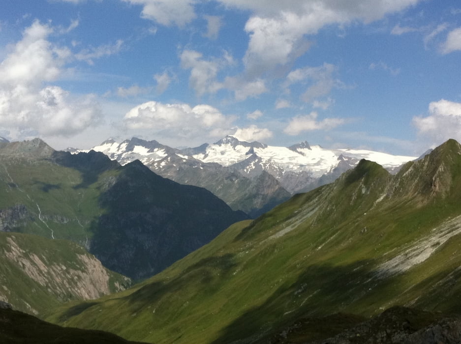
Eine landschaftlich traumhafte Tour in Osttirol. Tourstart ist St. Jakob im Defereggental. Über eine Schotterstrasse geht es bis zur Trojeralm und hier den steilen Weg rechts hinauf bis zur Durfeldalm. Knapp danach beginnt der Rudolf-Kauschka-Höhenweg, ein Steig, der großteils fahrbar ist. Nach Erreichen der traumhaft gelegenen Neuen Reichenberger Hütte sollte man unbedingt noch bis zum Aussichtspunkt Gletscherblick hochfahren - hier hat man einen wunderbaren Blick auf den Großvenediger.
Auf demselben Weg zurück nach St. Jakob. »
Auf demselben Weg zurück nach St. Jakob. »
Galeria trasy


Mapa trasy i profil wysokości
Minimum height 1390 m
Maximum height 2584 m
More about the tour author

|
rushy |
Komentarze

Von Lienz kommend bei Huben ins Defereggental abbiegen.
GPS tracks
Trackpoints-
GPX / Garmin Map Source (gpx) download
-
TCX / Garmin Training Center® (tcx) download
-
CRS / Garmin Training Center® (crs) download
-
Google Earth (kml) download
-
G7ToWin (g7t) download
-
TTQV (trk) download
-
Overlay (ovl) download
-
Fugawi (txt) download
-
Kompass (DAV) Track (tk) download
-
Karta trasy (pdf) download
-
Original file of the author (gpx) download
More about the tour author
|
|
rushy |
Add to my favorites
Remove from my favorites
Edit tags
Open track
My score
Rate