


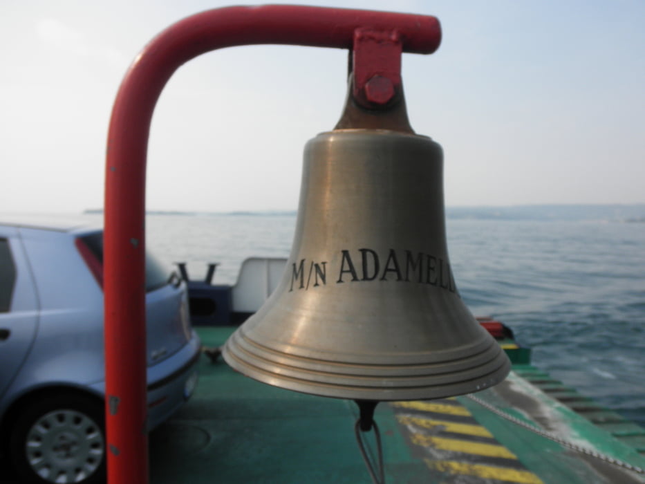
Lanschaftlich schöne Tour am Gardasee entlang, Start und Ziel Riva del Garda. Viele Infos brauch ich zu dieser Tour eigentlich nicht geben, weil man sich nicht verfahren kann, da man immer auf der Bundesstraße am Gardasee entlang fährt. Von Riva aus nach limone sul garda weiter nach Maderno, in Maderno überfahrt mit der Fähre (fährt alle 40 min) nach Torri (Kosten mit Bike 8 Euro), von Torri aus wieder Richtung Riva über Malcesine und Torbole...
Kann man auch schön mit den Mountainbike fahren.
Viel Spass
Further information at
http://www.gardasee.deGaleria trasy


Mapa trasy i profil wysokości
Minimum height 65 m
Maximum height 374 m
More about the tour author
|
|
andi084 |
Komentarze

Von Rosenheim A93 Richtung Kufstein, Inntalautobahn über Brenner bis nach Ausfahrt Trento Nord oder Süd, von da aus nach Riva del Garda.
Wenn man in Trento Nord runterfährt, fährt man über die weinstraße nach Riva, empfehlenswert, landschaft ist grandios
GPS tracks
Trackpoints-
GPX / Garmin Map Source (gpx) download
-
TCX / Garmin Training Center® (tcx) download
-
CRS / Garmin Training Center® (crs) download
-
Google Earth (kml) download
-
G7ToWin (g7t) download
-
TTQV (trk) download
-
Overlay (ovl) download
-
Fugawi (txt) download
-
Kompass (DAV) Track (tk) download
-
Karta trasy (pdf) download
-
Original file of the author (gpx) download
More about the tour author
|
|
andi084 |
Add to my favorites
Remove from my favorites
Edit tags
Open track
My score
Rate