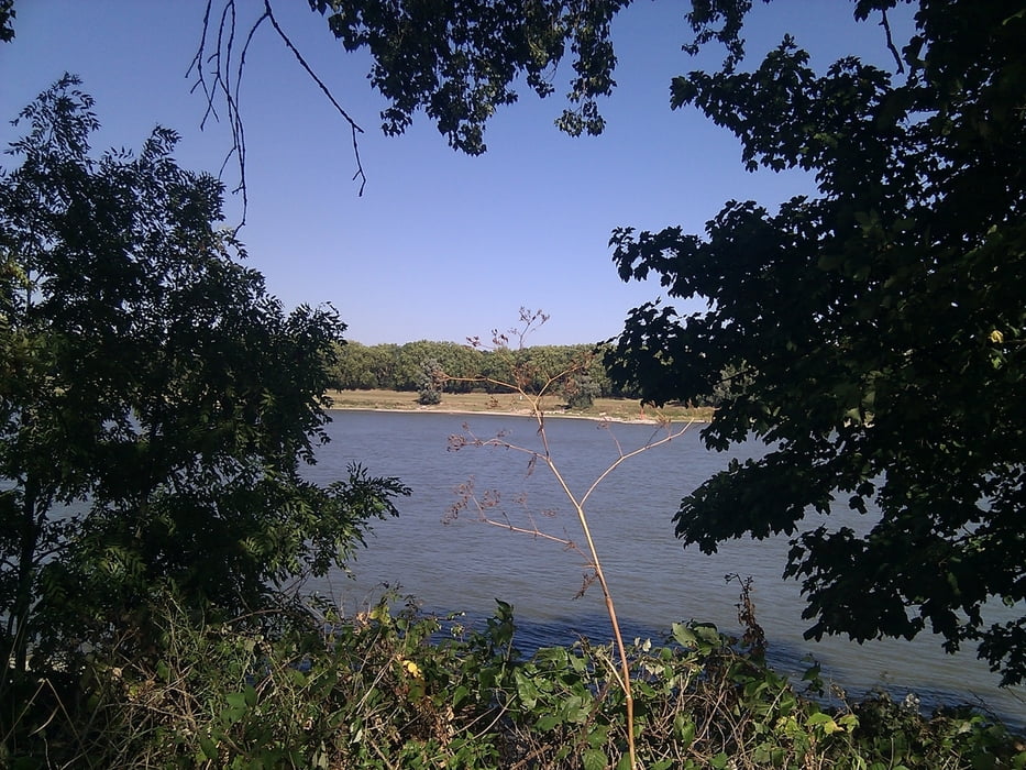
Der track ist die Route 23 aus dem Wanderführer "25 Wanderungen rund um Düsseldorf" aus dem Droste Verlag.
Der Weg ist fast ausschliesslich eben und gut zu laufen. Allerdings bei Hochwasser nicht gehbar.
Galeria trasy
Mapa trasy i profil wysokości
Minimum height 17 m
Maximum height 37 m
Komentarze

Startpunkt ist der Parkplatz am Strandbad in Düsseldorf Lörick.
Ende ist die U-Bahn-Haltestelle Forsthaus.
GPS tracks
Trackpoints-
GPX / Garmin Map Source (gpx) download
-
TCX / Garmin Training Center® (tcx) download
-
CRS / Garmin Training Center® (crs) download
-
Google Earth (kml) download
-
G7ToWin (g7t) download
-
TTQV (trk) download
-
Overlay (ovl) download
-
Fugawi (txt) download
-
Kompass (DAV) Track (tk) download
-
Karta trasy (pdf) download
-
Original file of the author (gpx) download
Add to my favorites
Remove from my favorites
Edit tags
Open track
My score
Rate


