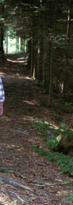
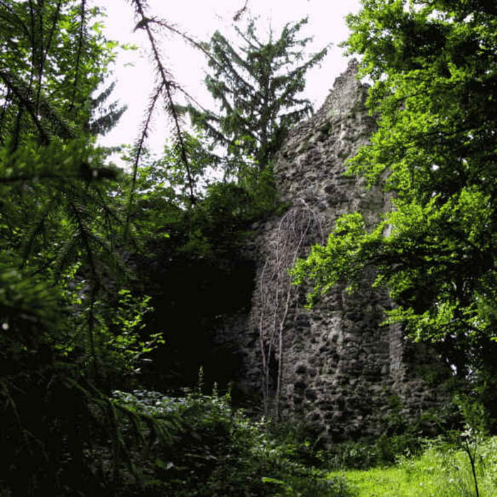
Die Tour verläuft hauptsächlich im oder am Wald. Teils schwere Passagen abwärts mit bis zu 30% Gefälle, welche aber trotdem zu meistern sind. Ziemlich in der Mitte kommen sie an der Ruinie Vorderburg raus, da ist ein kleiner Zwischenstopp möglich. Die Tour ist auf jeden fall empfehlenswert. Viel spaß beim Nachfahren
Galeria trasy
Mapa trasy i profil wysokości
Minimum height 713 m
Maximum height 1056 m
Komentarze

GPS tracks
Trackpoints-
GPX / Garmin Map Source (gpx) download
-
TCX / Garmin Training Center® (tcx) download
-
CRS / Garmin Training Center® (crs) download
-
Google Earth (kml) download
-
G7ToWin (g7t) download
-
TTQV (trk) download
-
Overlay (ovl) download
-
Fugawi (txt) download
-
Kompass (DAV) Track (tk) download
-
Karta trasy (pdf) download
-
Original file of the author (gpx) download
Add to my favorites
Remove from my favorites
Edit tags
Open track
My score
Rate


