Login

Zapomniałeś swój login?

Cookies have to be accepted!
Your browser's cookie functionality is disabled. Please enable this functionality.

Not a member yet?

Register now
Login

Available for registred users only

Log in to use this feature.

Zapomniałeś swój login?

Cookies have to be accepted!
Your browser's cookie functionality is disabled. Please enable this functionality.

Not a member yet?

Register now
Filter
Kategorie
Advanced filters
  • Długość (km)
  • Wysokość
Zapisz filtr Reset filter

TrackRank

QRCode

Technical data

Długość71,9 km Wysokość75 m Way down73 m Czas trwania04:00 h:m Data10.09.2012
Oceny Author User Krajobraz Czynnik zadowolenia Kondycja Technika

Statystyka

494 Widoki 1 Ocena 117 Downloads / Pliki do pobrania 3.00 Przeciętnie
Rate
  • Karta trasy
  • Dojazd
  • Downloads / Pliki do pobrania

Start Camping Union Lido

Cavallino nach Jesolo entlang des Kanals dann weiter in Richtung Cortellazzo an der Piave Einmündung.

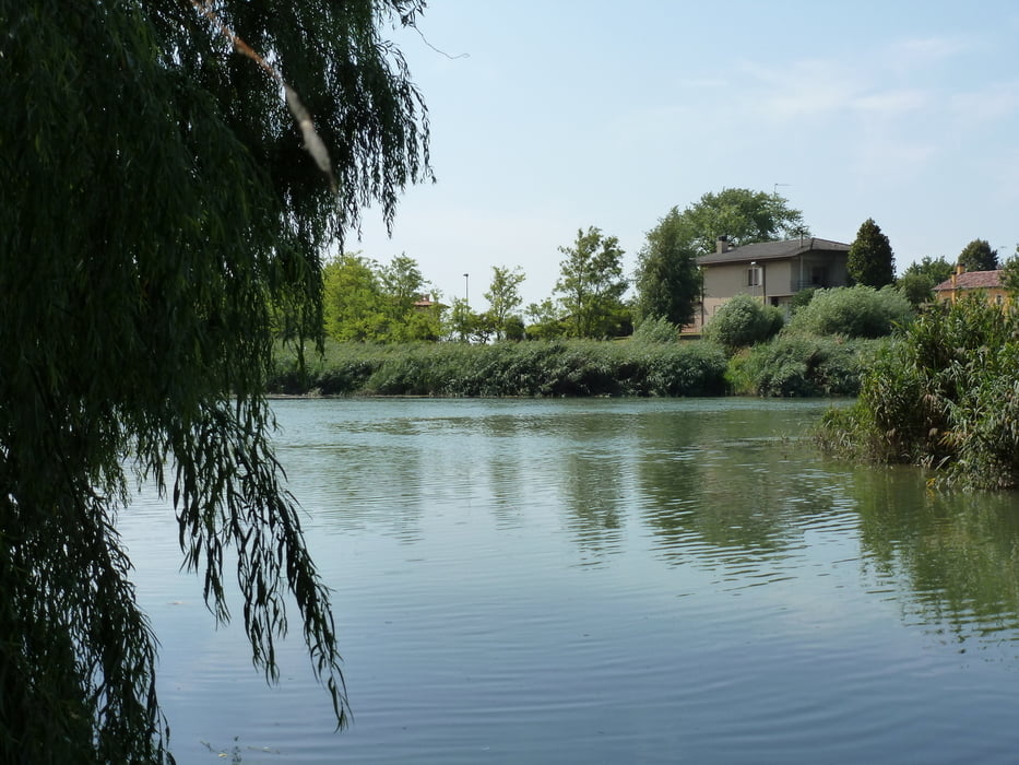
Entlang dem Fluß Piave bis nach Eraclea der Piave weiter folgen bis nach Musile de Piave.Über die alte Fährbrücke der alten Strasse auf der anderen Flussseite folgen bis Camposile.In Camposile dem Flussverlauf weiter folgen bis nach Jesolo und wieder zurück zum Ausgangsort.

Further information at

http://www.unionlido.com

Galeria trasy

Mapa trasy i profil wysokości

  • Open Street Map
  • Google
Minimum height -4 m Maximum height 8 m Widok szczegółowy

More about the tour author

ambaibiker
Member since 2008

Send private message

Komentarze

GPS tracks

Trackpoints
  • GPX / Garmin Map Source (gpx) download
  • TCX / Garmin Training Center® (tcx) download
  • CRS / Garmin Training Center® (crs) download
  • Google Earth (kml) download
  • G7ToWin (g7t) download
  • TTQV (trk) download
  • Overlay (ovl) download
  • Fugawi (txt) download
  • Kompass (DAV) Track (tk) download
  • Karta trasy (pdf) download
  • Original file of the author (gpx) download

More about the tour author

ambaibiker
Member since 2008

Send private message
Share track
Add to my favorites
Remove from my favorites
Edit tags
My score
Rate
Trasa: Entlang der Piave
Rodzaj: Rower górski (MTB)
Długość: 71,9 km
Evaluated on:
Czas trwania:
Day(s)
Hour(s)
Minute(s)
Ocena: Krajobraz Czynnik zadowolenia Kondycja Technika