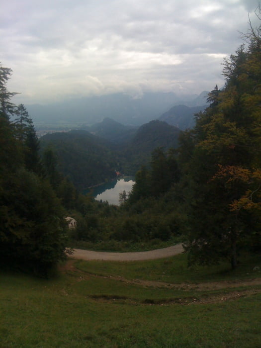
Zum Einstieg ein kurzes Teerstück zum Alatsee (schöner aber kalter Badesee). Danach Tour auf die Salober - Alm. Danach über den Zirmlgrat zum Falkenstein mit schönen Aussichten über die Seenlandschaft (4-Seen-Blick). Der Abstieg geht Über den Einerkopf nach Roßmoos. Zum Ausklang geht die Tour noch südlich vom Weißensee entlang.
Galeria trasy
Mapa trasy i profil wysokości
Minimum height 758 m
Maximum height 1296 m
Komentarze

Nähe Füssen an der A7, gute und kostenlose Parkmöglichkeiten vorhanden.
GPS tracks
Trackpoints-
GPX / Garmin Map Source (gpx) download
-
TCX / Garmin Training Center® (tcx) download
-
CRS / Garmin Training Center® (crs) download
-
Google Earth (kml) download
-
G7ToWin (g7t) download
-
TTQV (trk) download
-
Overlay (ovl) download
-
Fugawi (txt) download
-
Kompass (DAV) Track (tk) download
-
Karta trasy (pdf) download
-
Original file of the author (gpx) download
Add to my favorites
Remove from my favorites
Edit tags
Open track
My score
Rate


