Login

Zapomniałeś swój login?

Cookies have to be accepted!
Your browser's cookie functionality is disabled. Please enable this functionality.

Not a member yet?

Register now
Login

Available for registred users only

Log in to use this feature.

Zapomniałeś swój login?

Cookies have to be accepted!
Your browser's cookie functionality is disabled. Please enable this functionality.

Not a member yet?

Register now
Filter
Kategorie
Advanced filters
  • Długość (km)
  • Wysokość
Zapisz filtr Reset filter

TrackRank

QRCode

Technical data

Długość3,7 km Wysokość306 m Way down0 m Czas trwania00:16 h:m Data16.09.2012
Oceny Author Krajobraz Czynnik zadowolenia Kondycja Technika

Statystyka

472 Widoki Oceny 13 Downloads / Pliki do pobrania Przeciętnie
Rate
  • Karta trasy
  • Dojazd
  • Downloads / Pliki do pobrania

Empfehlenswertes Bergzeitfahren im Nordschwarzwald

ca. 320 Höhenmeter auf ca. 3, 6 km
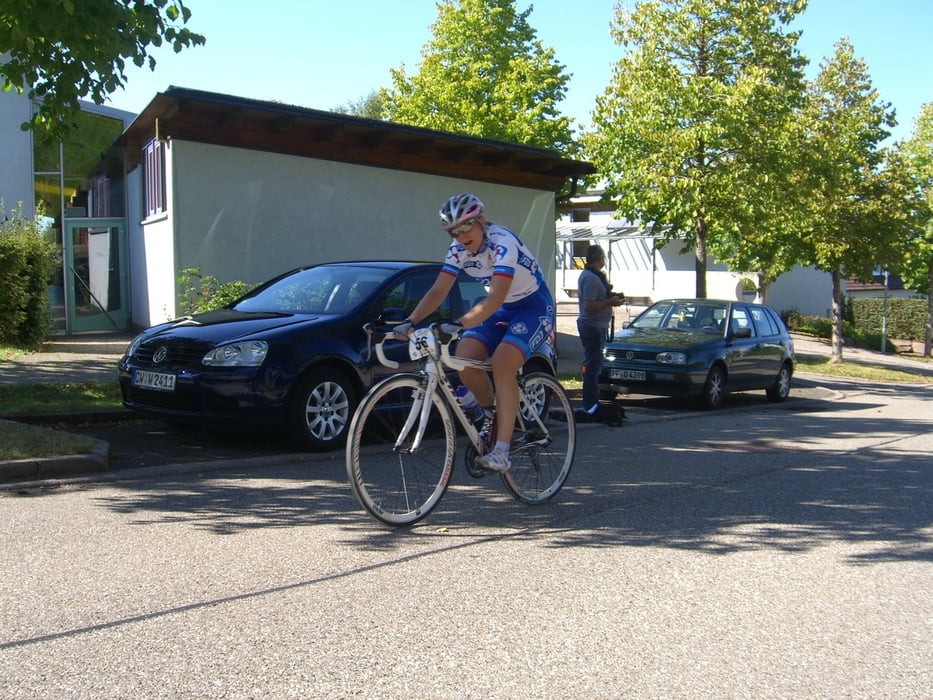
Steil ist geil :-)

Mapa trasy i profil wysokości

  • Open Street Map
  • Google
Minimum height 310 m Maximum height 616 m Widok szczegółowy

More about the tour author

triafreak76
Member since 2012

Send private message

Komentarze

Kreis Calw, Unterreichenbach (genau zwischen Calw und Pforzheim)

GPS tracks

Trackpoints
  • GPX / Garmin Map Source (gpx) download
  • TCX / Garmin Training Center® (tcx) download
  • CRS / Garmin Training Center® (crs) download
  • Google Earth (kml) download
  • G7ToWin (g7t) download
  • TTQV (trk) download
  • Overlay (ovl) download
  • Fugawi (txt) download
  • Kompass (DAV) Track (tk) download
  • Karta trasy (pdf) download
  • Original file of the author (gpx) download

More about the tour author

triafreak76
Member since 2012

Send private message
Share track
Add to my favorites
Remove from my favorites
Edit tags
My score
Rate
Trasa: Bergzeitfahren Unterreichenbach-Grunbach "Maroder Asphalt"
Rodzaj: Rower szosowy
Długość: 3,7 km
Evaluated on:
Czas trwania:
Day(s)
Hour(s)
Minute(s)
Ocena: Krajobraz Czynnik zadowolenia Kondycja Technika