


Startpunkt am Kaiserstuhl. Wir sind um 11:00 Uhr gestartet. Reine Fahrzeit war 3:50 h ohne Pause. War super schön, da gleichzeitig der SURM stattfand und somit im Anstieg auf den Kandel viele Radler unterwegswaren. Da dies meine erste Auffahrt auf den Kandel war und meine 7 Radtour dieses Jahr überhaupt, war diese getreu dem Motto: einfach nur oben ankommen. Ab Waldkirch Zentrum hab ich somit 1:14 h bis zum Pass benötigt. Die Qualität der Straße läßt im oberen Drittel drastisch nach, reicht aber in jedem Fall für eine Auffahrt aus. Die Abfahrt auf unserer Auffahrtsseite ist nicht empfehlenswert. Die Abfahrt über das Glottertal ist super, kaum Schlaglöcher und so ziemlich alles für eine rasante Abfahrt optimal alsphaltiert. Eine Windjacke war deshalb obligatorisch.
Wetter war bombastisch, die Aussicht war super.
Der nächste Berg ruft bestimmt bald.
Ich gebe bei Kondition und Technik momentan nur 3 Sterne, da ich noch nicht oft gefahren bin, aber ein konstantes langsames Tempo fahre. Daher sind auch solche Steigungen i.d.R. kein Problem für mich. Jeder muss selbst wissen ob er eine konstante Strecke mit 12-16 % Steigung über diese Distanz fahren kann.
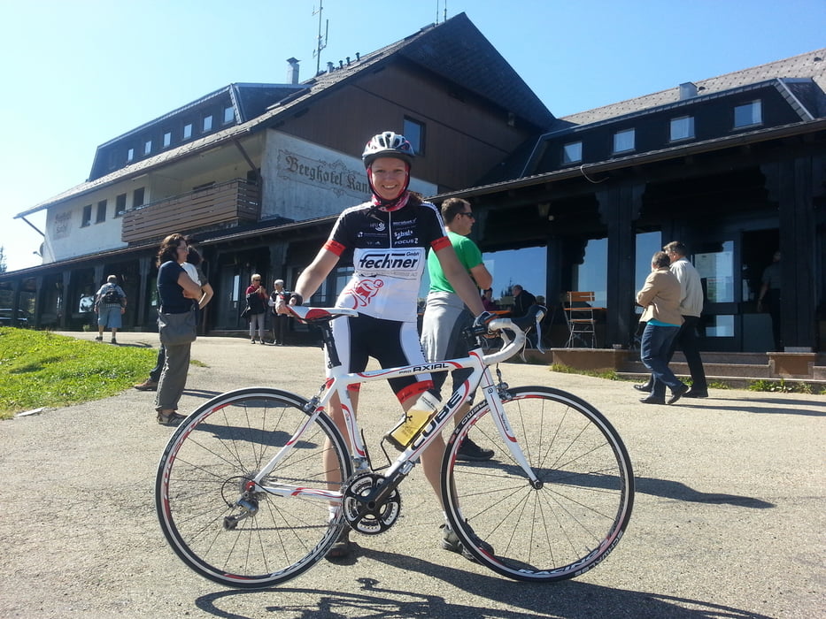
Galeria trasy
Mapa trasy i profil wysokości
Minimum height 165 m
Maximum height 1194 m
More about the tour author
|
|
Kinzigtaelerin |
Komentarze

Da die Tour einen Rundkurs darstellt, kann man an jeder x beliebigen Stelle einsteigen, abkürzen oder natürlich noch verlängern :).
GPS tracks
Trackpoints-
GPX / Garmin Map Source (gpx) download
-
TCX / Garmin Training Center® (tcx) download
-
CRS / Garmin Training Center® (crs) download
-
Google Earth (kml) download
-
G7ToWin (g7t) download
-
TTQV (trk) download
-
Overlay (ovl) download
-
Fugawi (txt) download
-
Kompass (DAV) Track (tk) download
-
Karta trasy (pdf) download
-
Original file of the author (tcx) download
More about the tour author
|
|
Kinzigtaelerin |
Add to my favorites
Remove from my favorites
Edit tags
Open track
My score
Rate