Login

Zapomniałeś swój login?

Cookies have to be accepted!
Your browser's cookie functionality is disabled. Please enable this functionality.

Not a member yet?

Register now
Login

Available for registred users only

Log in to use this feature.

Zapomniałeś swój login?

Cookies have to be accepted!
Your browser's cookie functionality is disabled. Please enable this functionality.

Not a member yet?

Register now
Filter
Kategorie
Advanced filters
  • Długość (km)
  • Wysokość
Zapisz filtr Reset filter

TrackRank

QRCode

Technical data

Długość1.351,1 km Wysokość14833 m Way down14581 m Czas trwania18 days 0 h Data22.09.2012
Oceny Author Krajobraz Czynnik zadowolenia Kondycja Technika

Statystyka

564 Widoki 1 Ocena 60 Downloads / Pliki do pobrania 5.00 Przeciętnie
Rate
  • Karta trasy
  • Dojazd
  • Downloads / Pliki do pobrania

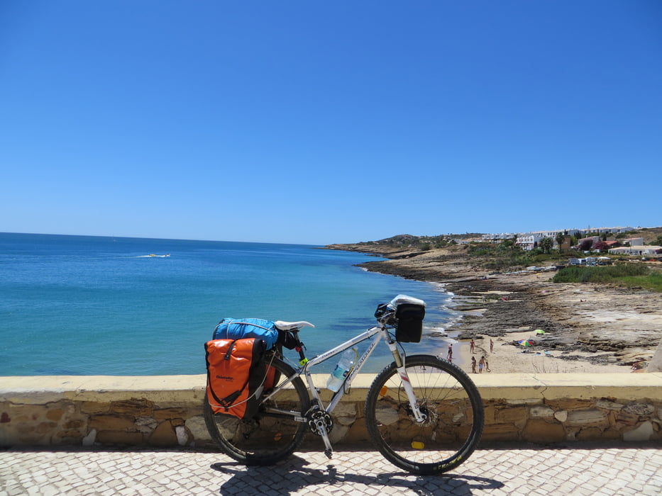
First 8 days have been spent in the south: From Vila Real de sant' Antonio to Sagres (5 days) and then Lisbon. The  I followed the camino di santiago portuguese through Fatima in other 10 days. One deay rest in Lisbon.

I did rough road trail or small secondary road every time I could.

Heavy MTB bike 29 front suspended
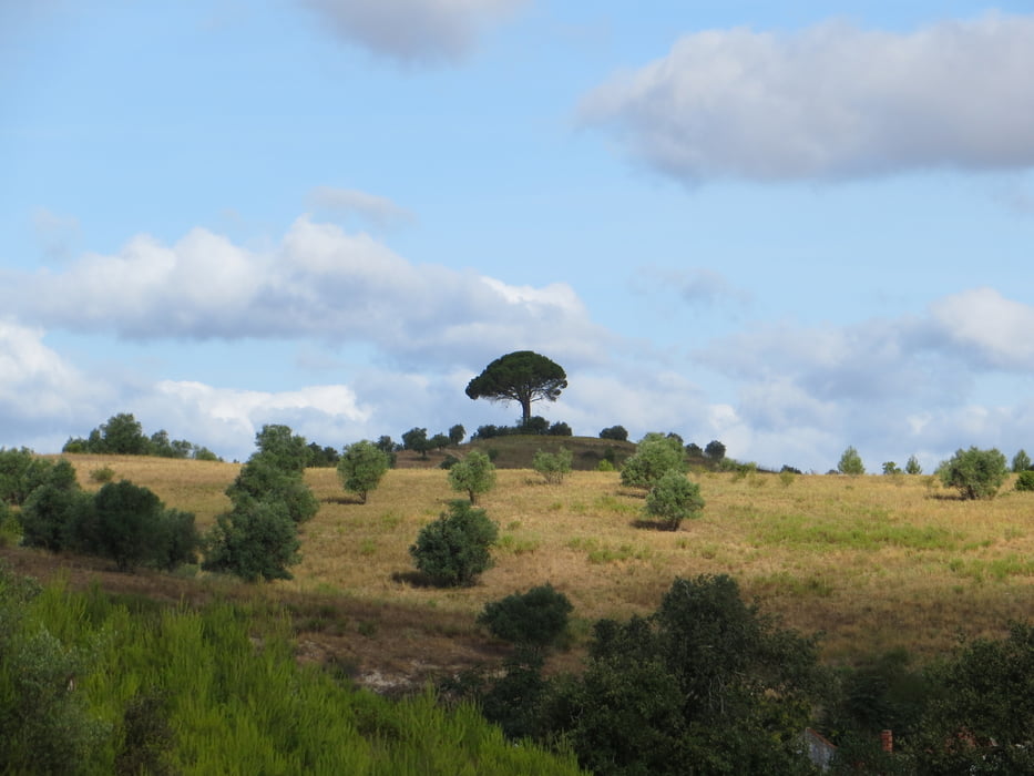
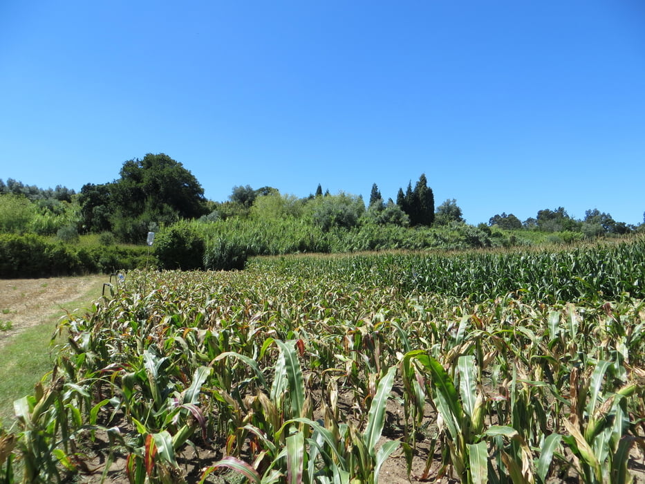
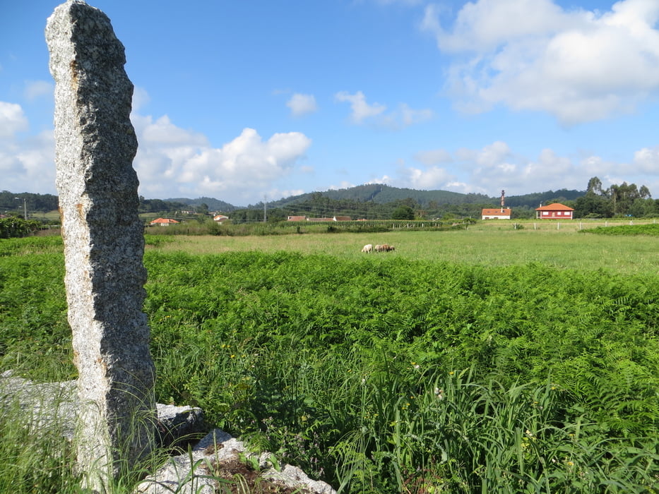
Galeria trasy

Mapa trasy i profil wysokości

  • Open Street Map
  • Google
Minimum height 6 m Maximum height 546 m Widok szczegółowy

More about the tour author

eliope
Member since 2010

Send private message

Komentarze

GPS tracks

Trackpoints
  • GPX / Garmin Map Source (gpx) download
  • TCX / Garmin Training Center® (tcx) download
  • CRS / Garmin Training Center® (crs) download
  • Google Earth (kml) download
  • G7ToWin (g7t) download
  • TTQV (trk) download
  • Overlay (ovl) download
  • Fugawi (txt) download
  • Kompass (DAV) Track (tk) download
  • Karta trasy (pdf) download
  • Original file of the author (gpx) download

More about the tour author

eliope
Member since 2010

Send private message
Share track
Add to my favorites
Remove from my favorites
Edit tags
My score
Rate
Trasa: From Algarve to Santiago de Compostela: Camino Luteziano
Rodzaj: Rower trekkingowy
Długość: 1.351,1 km
Evaluated on:
Czas trwania:
Day(s)
Hour(s)
Minute(s)
Ocena: Krajobraz Czynnik zadowolenia Kondycja Technika