Login

Zapomniałeś swój login?

Cookies have to be accepted!
Your browser's cookie functionality is disabled. Please enable this functionality.

Not a member yet?

Register now
Login

Available for registred users only

Log in to use this feature.

Zapomniałeś swój login?

Cookies have to be accepted!
Your browser's cookie functionality is disabled. Please enable this functionality.

Not a member yet?

Register now
Filter
Kategorie
Advanced filters
  • Długość (km)
  • Wysokość
Zapisz filtr Reset filter

TrackRank

QRCode

Technical data

Długość7,3 km Wysokość87 m Way down88 m Czas trwania02:00 h:m Data23.09.2012
Oceny Author Krajobraz Czynnik zadowolenia Kondycja Technika

Statystyka

3010 Widoki Oceny 24 Downloads / Pliki do pobrania Przeciętnie
Rate
  • Karta trasy
  • Dojazd
  • Downloads / Pliki do pobrania

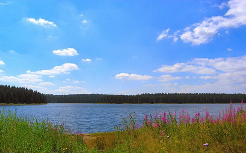
Wanderung Talsperre Carlsfeld.

Wir starten etwas oberhalb vom Gasthof Talsperre.
Wir gehen linksrum über den Talsperrenmauer. Gute Wege und gute Beschilderung (Dreitalsperren-Weg bzw. Rundweg Talsperre Carlsfeld).
Gemütliche Runde mit vielen Rastplätzen/Rasthäuschen und Bänken, die zum Verweilen einladen.

Fazit:
Klasse kleine Runde


Further information at

http://www.carlsfeld.com/

Galeria trasy

Mapa trasy i profil wysokości

  • Open Street Map
  • Google
Minimum height 885 m Maximum height 944 m Widok szczegółowy

More about the tour author

Stummi
Member since 2009

Send private message

Komentarze

GPS tracks

Trackpoints
  • GPX / Garmin Map Source (gpx) download
  • TCX / Garmin Training Center® (tcx) download
  • CRS / Garmin Training Center® (crs) download
  • Google Earth (kml) download
  • G7ToWin (g7t) download
  • TTQV (trk) download
  • Overlay (ovl) download
  • Fugawi (txt) download
  • Kompass (DAV) Track (tk) download
  • Karta trasy (pdf) download
  • Original file of the author (gpx) download

More about the tour author

Stummi
Member since 2009

Send private message
Share track
Add to my favorites
Remove from my favorites
Edit tags
My score
Rate
Trasa: Talsperre Carlsfeld
Rodzaj: Wędrówki
Długość: 7,3 km
Evaluated on:
Czas trwania:
Day(s)
Hour(s)
Minute(s)
Ocena: Krajobraz Czynnik zadowolenia Kondycja Technika