

von Rohrbach geht es auf der Straße über Leimen nach Maisbach. Am Parkplatz angekommen geht es auf Forst und Waldwegen stets weiter nach oben Richtung Drei Eichen. Ab hier folgt man diversen Singeltrails hinauf zum Königstuhl. Oben angekommen geht es auf schönen Trails hinab bis ins Tal.Wenn man den Neckar überquert hat geht es über Sift Neuburg auf Forstwegen Richtung Hirschgasse, wo ein verwurzelter Singeltrail hinauf gefahren wird.Von hier fährt man stetig Bergauf bis zum weißen Stein. Nun geht es auf diversen Trails hinab bis zum Philosophenweg und zurück nach Rohrbach.
Mapa trasy i profil wysokości
Minimum height 90 m
Maximum height 570 m
More about the tour author
|
|
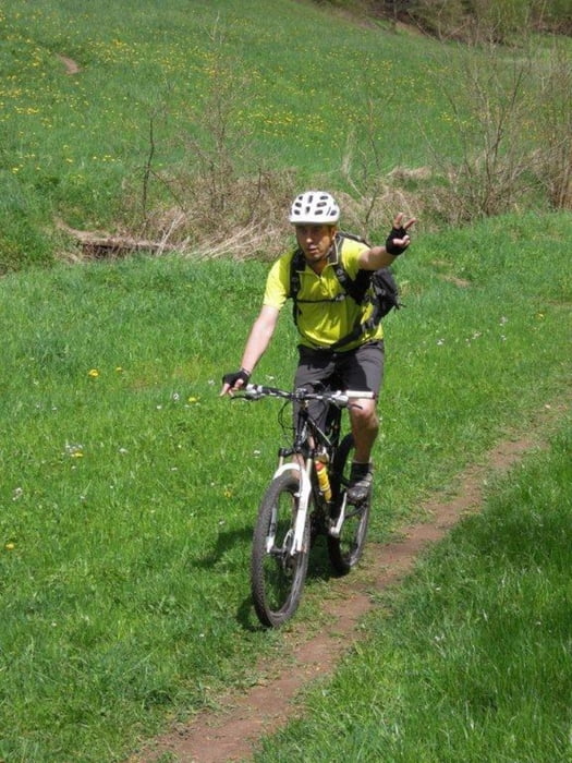
MTBBiker1966 |
Komentarze

GPS tracks
Trackpoints-
GPX / Garmin Map Source (gpx) download
-
TCX / Garmin Training Center® (tcx) download
-
CRS / Garmin Training Center® (crs) download
-
Google Earth (kml) download
-
G7ToWin (g7t) download
-
TTQV (trk) download
-
Overlay (ovl) download
-
Fugawi (txt) download
-
Kompass (DAV) Track (tk) download
-
Karta trasy (pdf) download
-
Original file of the author (tcx) download
More about the tour author
|
|
MTBBiker1966 |
Add to my favorites
Remove from my favorites
Edit tags
Open track
My score
Rate