


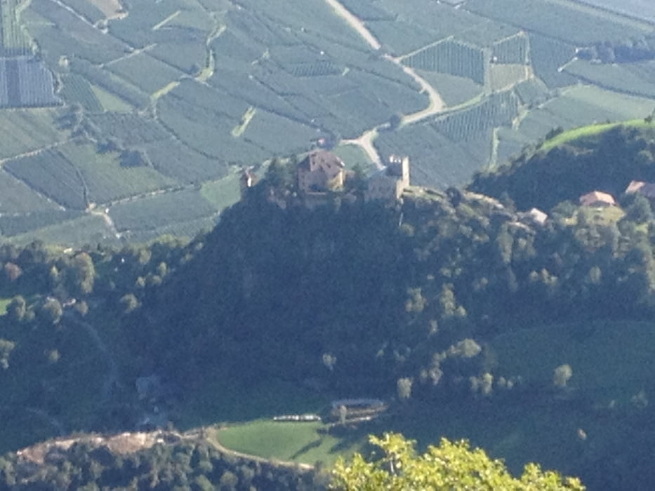
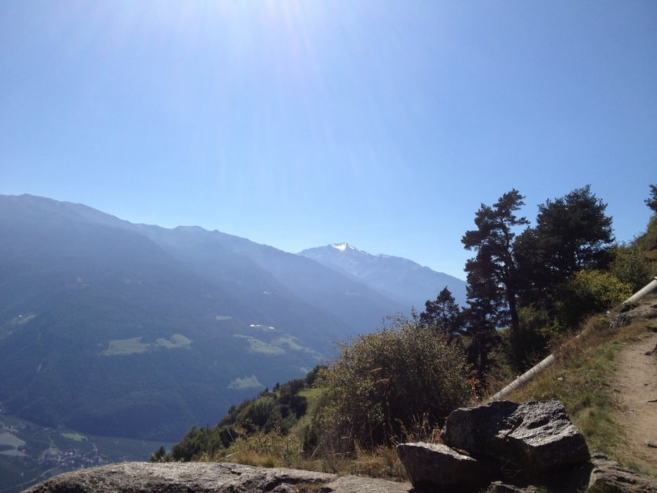
Hallo Leute, hier nun Tag 2 unserer Tour. Super schöne Route von Gigglberg nach Katharinaberg / Untervernatschhof. Klasse Wetter, tolle Sicht und nette Gasthöfe auf der Strecke. Das war ein toller Tag mit Durchquerung der 1000 Stufen-Schlucht. Glaubt mir, der Name ist Programm. Aber wenn die Rentner dies schaffen, schaffst Du das auch.
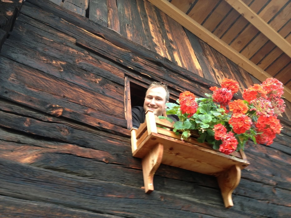
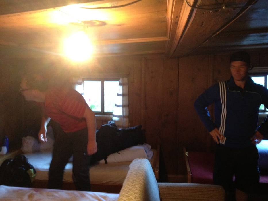
Übernachtung im uraltem Untervernaschhof mit Vorlesung von heimischen Gedichten durch die alte und sehr nette Sennerin.
Further information at
http://hoehenweg.meran.info/de/meraner-hoehenweg.htmlGaleria trasy
Mapa trasy i profil wysokości
Minimum height 1357 m
Maximum height 1580 m
More about the tour author
|
|
Lippo |
Komentarze

GPS tracks
Trackpoints-
GPX / Garmin Map Source (gpx) download
-
TCX / Garmin Training Center® (tcx) download
-
CRS / Garmin Training Center® (crs) download
-
Google Earth (kml) download
-
G7ToWin (g7t) download
-
TTQV (trk) download
-
Overlay (ovl) download
-
Fugawi (txt) download
-
Kompass (DAV) Track (tk) download
-
Karta trasy (pdf) download
-
Original file of the author (gpx) download
More about the tour author
|
|
Lippo |
Add to my favorites
Remove from my favorites
Edit tags
Open track
My score
Rate