


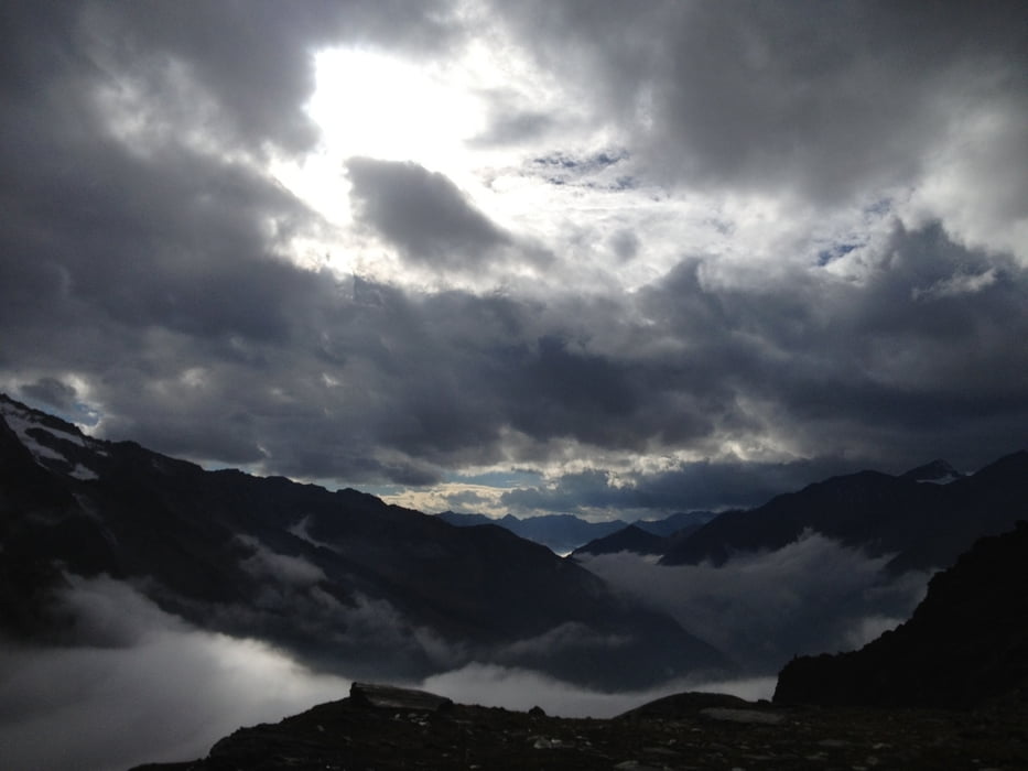
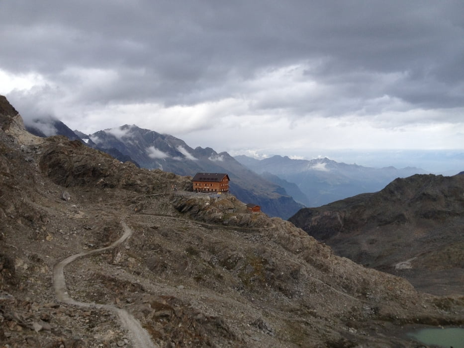
Sorry Leute, ich habe vergessen nach Tag 3 den Track zu löschen und habe nun hier Tag3 und 4 zusammen. Egal, Tag 3 von Katharinaberg zur Stettiner Hütte war der Hammer. Tolle Landschaft und Höhenmeter ohne Ende. Kurz vor der Stettiner Hütte auf knapp 2900m schwankte die Stimmung zwischen depressiv und euphorisch im Minutentakt. Dann endlich oben und fertig mit allem. Zwischendurch Rast im Vorderkaser uns Eishof.
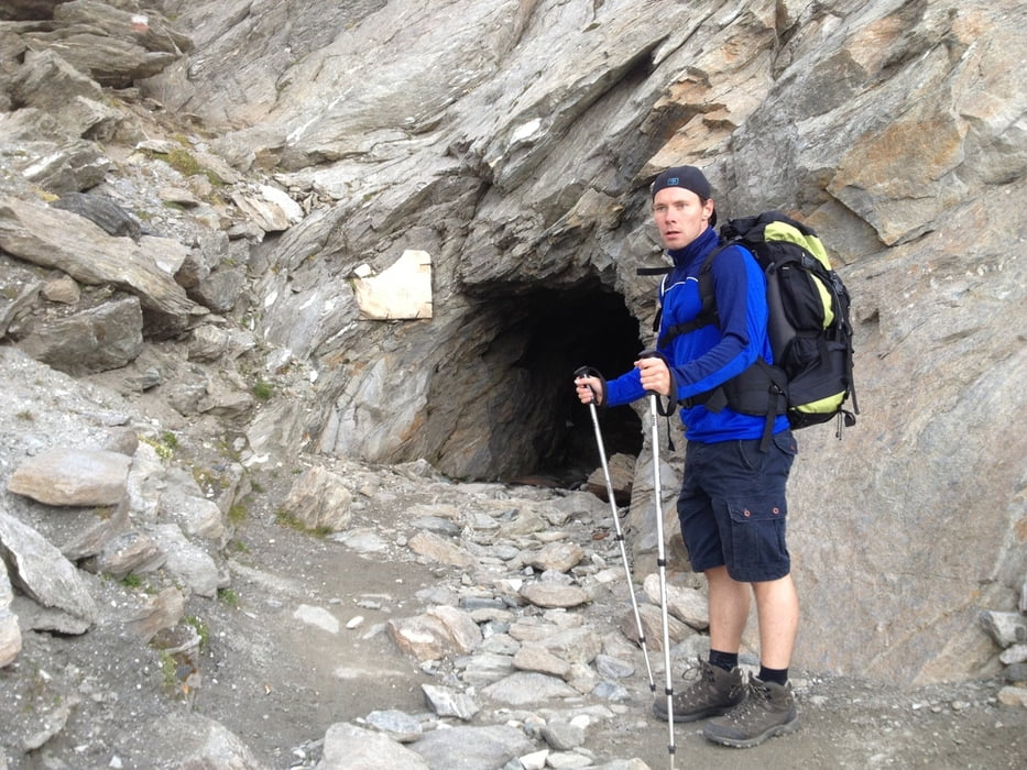
Tag 4 (nach einer Nacht mit Blasmusik und Gaudi) der Abstieg zur Lazinser Alm und Wiederaufstieg zum Oberkaser mit Übernachtung. Sehr schön. In einem der Spronser Seen haben wir auch dann noch gebadet. Temperatur war nicht schlecht, ca. 9 Grad.
Further information at
http://hoehenweg.meran.info/de/meraner-hoehenweg.htmlGaleria trasy
Mapa trasy i profil wysokości
Minimum height 1420 m
Maximum height 2915 m
More about the tour author
|
|
Lippo |
Komentarze

GPS tracks
Trackpoints-
GPX / Garmin Map Source (gpx) download
-
TCX / Garmin Training Center® (tcx) download
-
CRS / Garmin Training Center® (crs) download
-
Google Earth (kml) download
-
G7ToWin (g7t) download
-
TTQV (trk) download
-
Overlay (ovl) download
-
Fugawi (txt) download
-
Kompass (DAV) Track (tk) download
-
Karta trasy (pdf) download
-
Original file of the author (gpx) download
More about the tour author
|
|
Lippo |
Add to my favorites
Remove from my favorites
Edit tags
Open track
My score
Rate