Login

Zapomniałeś swój login?

Cookies have to be accepted!
Your browser's cookie functionality is disabled. Please enable this functionality.

Not a member yet?

Register now
Login

Available for registred users only

Log in to use this feature.

Zapomniałeś swój login?

Cookies have to be accepted!
Your browser's cookie functionality is disabled. Please enable this functionality.

Not a member yet?

Register now
Filter
Kategorie
Advanced filters
  • Długość (km)
  • Wysokość
Zapisz filtr Reset filter

TrackRank

QRCode

Technical data

Długość84,3 km Wysokość1921 m Way down1918 m Czas trwania06:09 h:m Data28.09.2012
Oceny Author Krajobraz Czynnik zadowolenia Kondycja Technika

Statystyka

621 Widoki Oceny 71 Downloads / Pliki do pobrania Przeciętnie
Rate
  • Karta trasy
  • Dojazd
  • Downloads / Pliki do pobrania

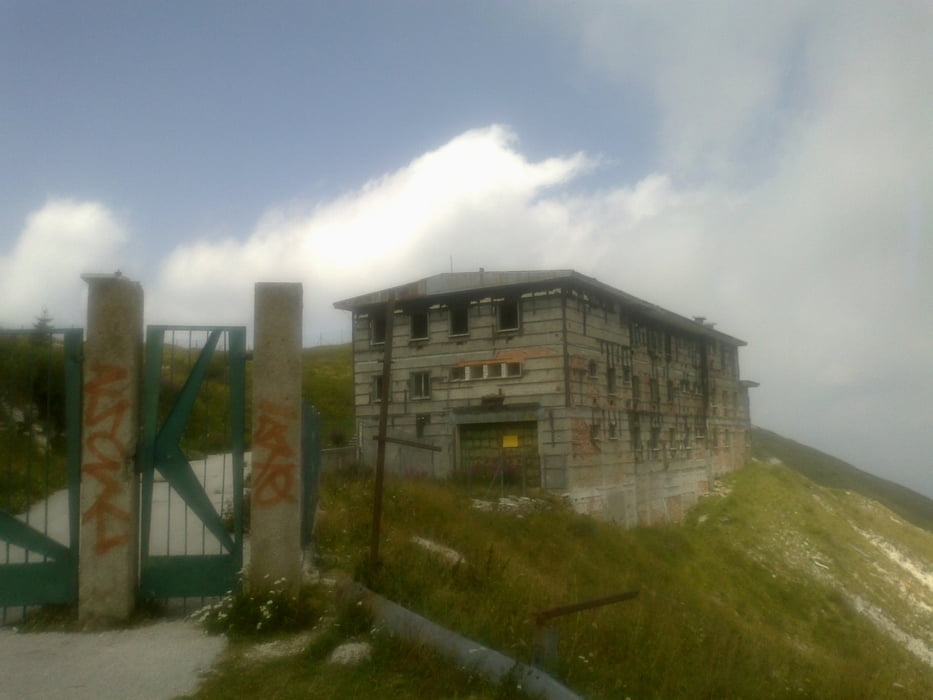
Arsie-Monte Grappa-Bassano di Grappa-Mosson

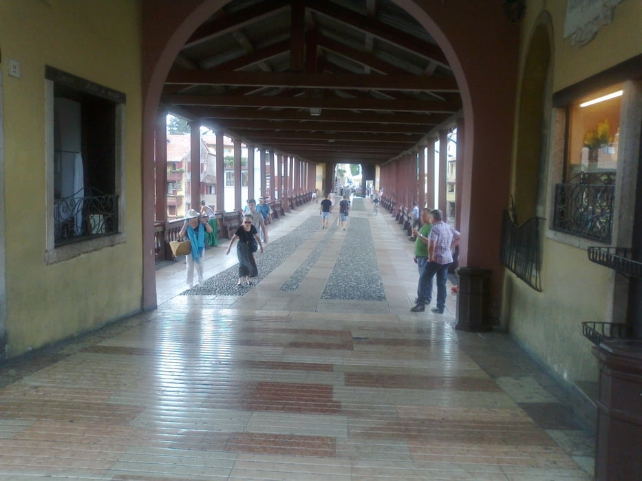
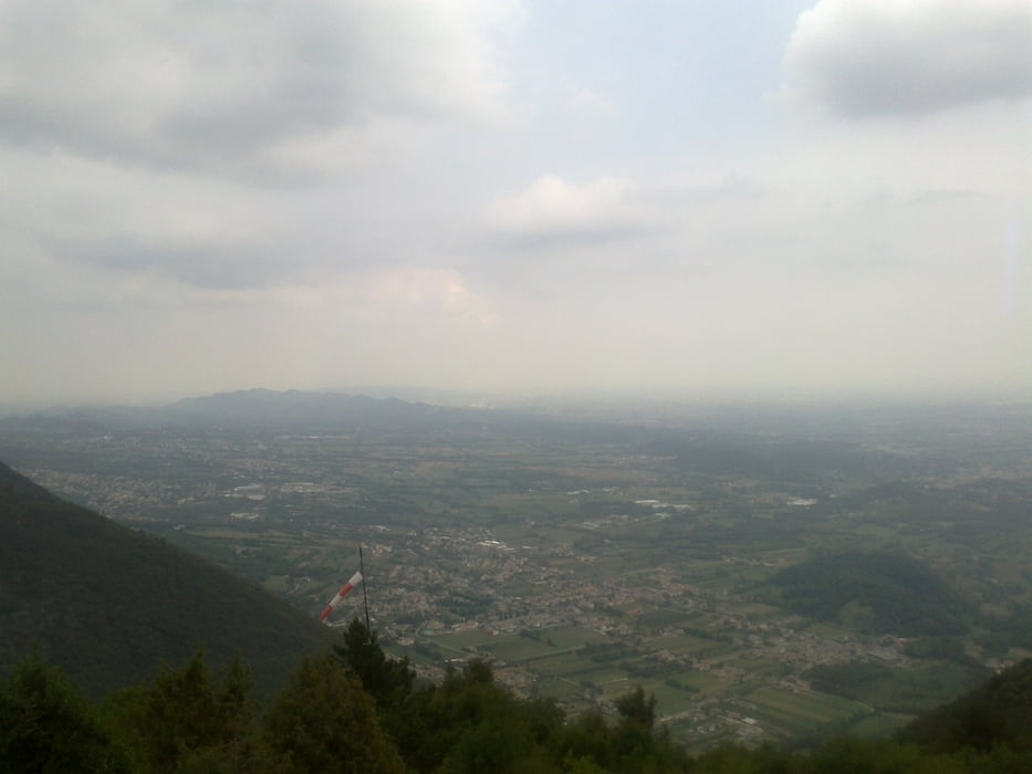
Schneller, schöner Aufstieg auf den Monte Grappa. Anschließend 30(!) km Abfahrt bis Bassano: spitze! Ort hat was von Venedig (Brücke!).
Die Mühen der Niederungen waren groß. Fast ausschließlich auf Hauptstraßen bei enormer Hitze.
Wieder tolles Quartier, angeblich das einzige weit und breit.
 

Galeria trasy

Mapa trasy i profil wysokości

  • Open Street Map
  • Google
Minimum height 98 m Maximum height 1767 m Widok szczegółowy

More about the tour author

mitter
Member since 2008

Send private message

Komentarze

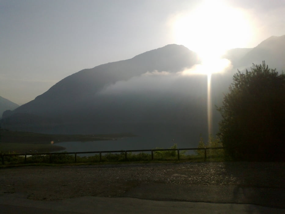
Start in Arsie am See.

GPS tracks

Trackpoints
  • GPX / Garmin Map Source (gpx) download
  • TCX / Garmin Training Center® (tcx) download
  • CRS / Garmin Training Center® (crs) download
  • Google Earth (kml) download
  • G7ToWin (g7t) download
  • TTQV (trk) download
  • Overlay (ovl) download
  • Fugawi (txt) download
  • Kompass (DAV) Track (tk) download
  • Karta trasy (pdf) download
  • Original file of the author (gpx) download

More about the tour author

mitter
Member since 2008

Send private message
Share track
Add to my favorites
Remove from my favorites
Edit tags
My score
Rate
Trasa: Monte Grappa
Rodzaj: Rower górski (MTB)
Długość: 84,3 km
Evaluated on:
Czas trwania:
Day(s)
Hour(s)
Minute(s)
Ocena: Krajobraz Czynnik zadowolenia Kondycja Technika