


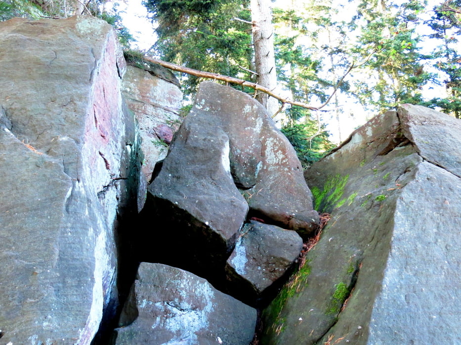
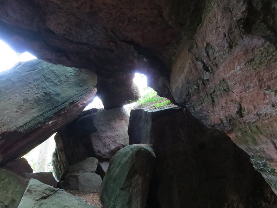
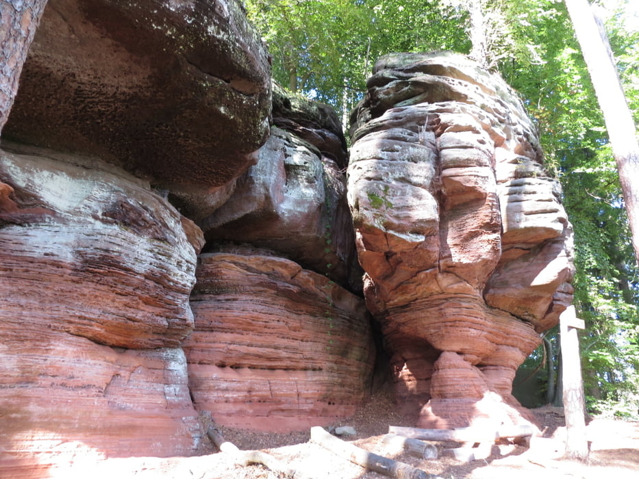
Rundwanderung auf Waldpfaden.
Start am Forsthaus Beckenhof, zuerst der Wegmarkierung rot-gelb folgen. Vorbei am "Waldklassenzimmer" zum Felsentor, weiter bis zu einem schmalen Pfad, der am Luitpoldfelsen, den gebrochenen Felsen und der Schillerwand vorbeiführt. Im Tal entlang, über die Gründell (Parkplatz) bis zum Eisweiher, durch das Mordloch wieder hinauf zum Aussichtspunkt Ambosfelsen und zurück zum Beckenhof (Einkehrmöglichkeit).
(Wegen technischer Probleme sind die ersten 300 m "handgemalt")
Further information at
http://www.beckenhof.de/Galeria trasy
Mapa trasy i profil wysokości
Minimum height 304 m
Maximum height 414 m
More about the tour author
|
|
Wildwutz |
Komentarze

Von der B10 aus der Beschilderung zum Beckenhof folgen.
GPS tracks
Trackpoints-
GPX / Garmin Map Source (gpx) download
-
TCX / Garmin Training Center® (tcx) download
-
CRS / Garmin Training Center® (crs) download
-
Google Earth (kml) download
-
G7ToWin (g7t) download
-
TTQV (trk) download
-
Overlay (ovl) download
-
Fugawi (txt) download
-
Kompass (DAV) Track (tk) download
-
Karta trasy (pdf) download
-
Original file of the author (gpx) download
More about the tour author
|
|
Wildwutz |
Add to my favorites
Remove from my favorites
Edit tags
Open track
My score
Rate