


Vom Hotel Goldknopf zur Almrosenhütte, dann bergab auf dem Hans und Paula Steeger Weg durch den Spiegelwald Richtung Almgasthof Tirler. Dann bergauf zum Berghaus Zallinger. Nach einem erfrischenden Weizen hinunter Richtung Ortisei/Monte Pana nach Saltria. Von dort Richtung Compatsch zur Gostner Schwaige: gaultmillau.at/restaurants/Restaurants/39040,_Gostner_Schwaige/900010610/. Hier hat man sich dann die Kreationen vom Mulser Franz redlich verdient. Nach einer ausgiebigen Pause dann zurück zum Goldknopf.
Alternative Routen sind:
- Start beim Compatsch, von dort Auftieg zum Goldknopf
- Statt Abstieg von der Almrosenhütte zum Tirler, weiter über Mahlknecht Hütte und Dialer zum Zallinger (dann spart man sich den schweisstreibenden Aufstieg)
- Mit dem Bus von Saltria zum Hotel Steger-Dellai, von dort 5 Minuten Aufstieg zur Gostner Schwaige
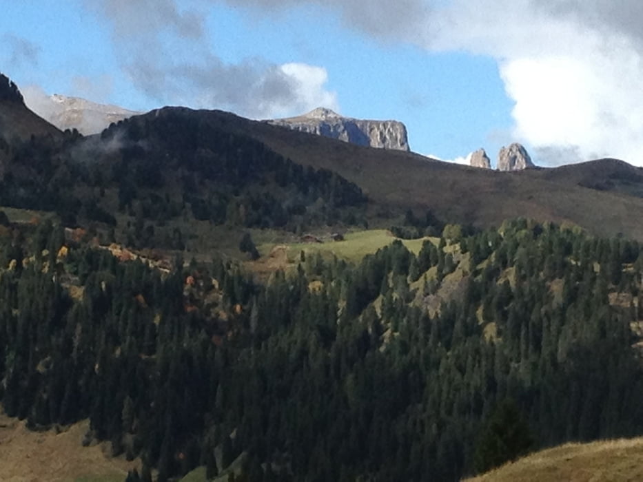
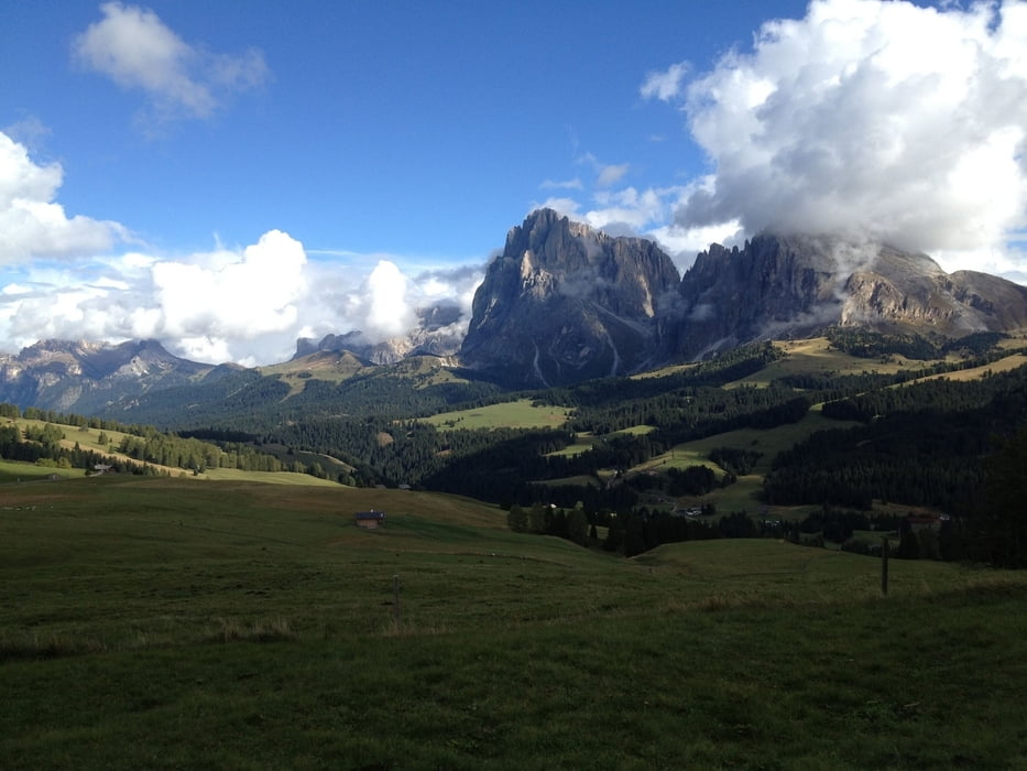
Galeria trasy


Mapa trasy i profil wysokości
Minimum height 1678 m
Maximum height 2355 m
More about the tour author

|
thmayr |
Komentarze

GPS tracks
Trackpoints-
GPX / Garmin Map Source (gpx) download
-
TCX / Garmin Training Center® (tcx) download
-
CRS / Garmin Training Center® (crs) download
-
Google Earth (kml) download
-
G7ToWin (g7t) download
-
TTQV (trk) download
-
Overlay (ovl) download
-
Fugawi (txt) download
-
Kompass (DAV) Track (tk) download
-
Karta trasy (pdf) download
-
Original file of the author (gpx) download
More about the tour author
|
|
thmayr |
Add to my favorites
Remove from my favorites
Edit tags
Open track
My score
Rate