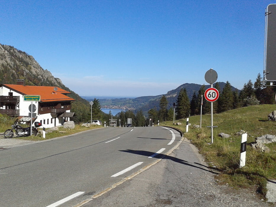
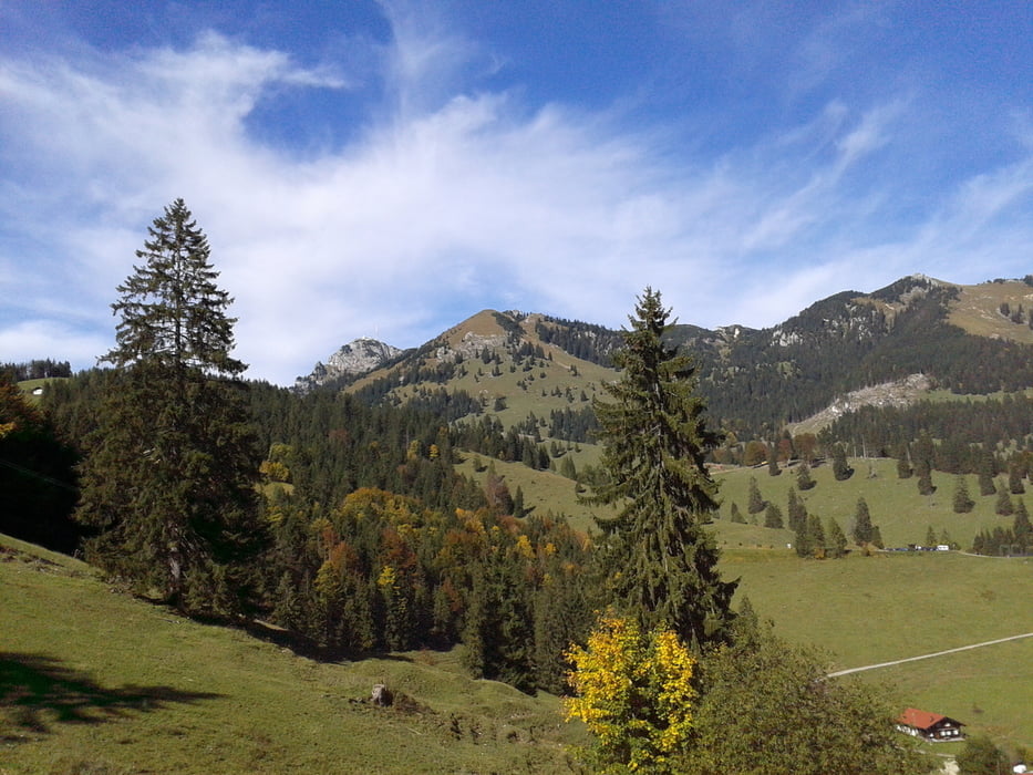
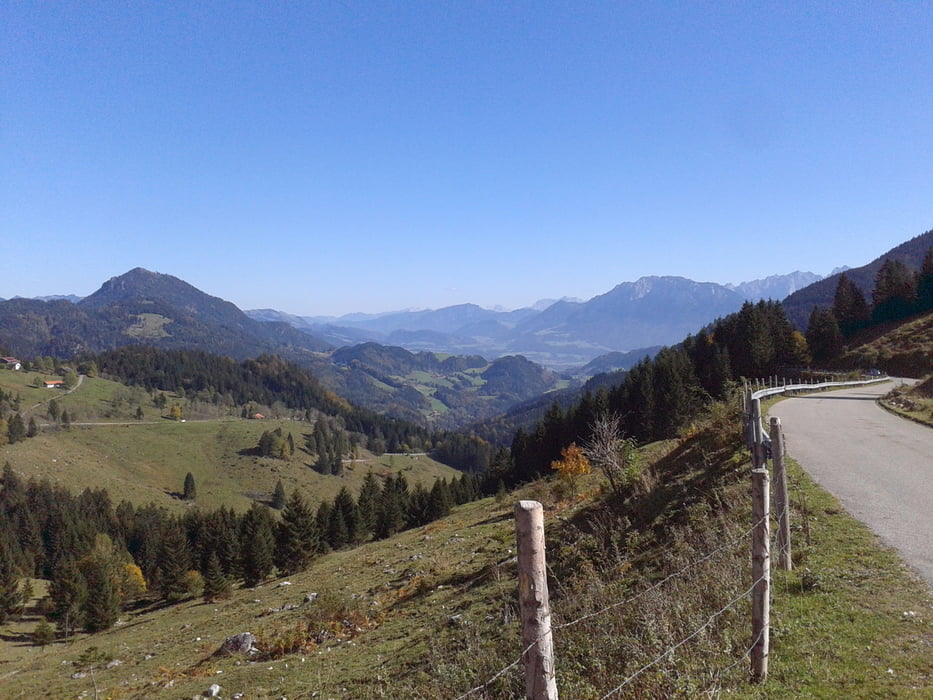
Tour von Waakirchen nach Rosenheim auf nicht direktem Wege: von Waakirchen nach Gmund. Von dort den Königsee-Bodensee-Radweg folgend am Schliersee vorbei. In Neuhaus vom Radweg runter nach Josephtal und die alte Spitzingseestraße rauf zum Spitzingseesattel. Am See vorbei ins Valepp. Über den Elendsattel ins Kloo-Ascher-Tal und weiter nach Bayerischzell. Von dort die Forststraße rauf zum Berghotel Sudelfeld (muss ca. 15 Minuten geschoben werden, da extrem steil - Alternative: die Bundesstraße nehmen, jedoch mit viel Verkehr). Weiter bis zum Tazelwurm und von dort die Mautstraße nach Brannenburg runter. Über Feldwege ausradeln bis nach Rosenheim.
Galeria trasy
Mapa trasy i profil wysokości
Minimum height 501 m
Maximum height 1242 m
Komentarze

GPS tracks
Trackpoints-
GPX / Garmin Map Source (gpx) download
-
TCX / Garmin Training Center® (tcx) download
-
CRS / Garmin Training Center® (crs) download
-
Google Earth (kml) download
-
G7ToWin (g7t) download
-
TTQV (trk) download
-
Overlay (ovl) download
-
Fugawi (txt) download
-
Kompass (DAV) Track (tk) download
-
Karta trasy (pdf) download
-
Original file of the author (gpx) download
Add to my favorites
Remove from my favorites
Edit tags
Open track
My score
Rate


