


Sehr schöne Mountenbiketour von Eferding zur Giselawarte auch GIS genannt und retour.
Das Gelände von Eferding bis Ottensheim ist ausschließlich Asphalt, jedoch nach Ottensheim bis zur GIS ist überwiegend reines Mountenbike Gelände.
Anspruchsvolle Spurwege und Trails erwarten Dich bei Auf- und Abfahrt zur Warte.
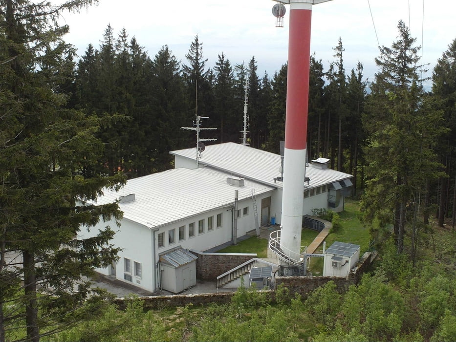
Als Belohnung für die Anstrengung gibt es leckeres Essen im "Gasthaus zur GIS".
Further information at
http://www.gisaustria.com/Galeria trasy

Mapa trasy i profil wysokości
Minimum height 223 m
Maximum height 883 m
More about the tour author
|
|
DieGemse |
Komentarze

Start und Ziel ist der Parkplatz beim Gemeindeamt in Hinzenbach dierekt neben der B129.
Geo-Daten:
48°18'29.55"N
14°00'24.60"O
GPS tracks
Trackpoints-
GPX / Garmin Map Source (gpx) download
-
TCX / Garmin Training Center® (tcx) download
-
CRS / Garmin Training Center® (crs) download
-
Google Earth (kml) download
-
G7ToWin (g7t) download
-
TTQV (trk) download
-
Overlay (ovl) download
-
Fugawi (txt) download
-
Kompass (DAV) Track (tk) download
-
Karta trasy (pdf) download
-
Original file of the author (gpx) download
More about the tour author
|
|
DieGemse |
Add to my favorites
Remove from my favorites
Edit tags
Open track
My score
Rate