Login

Zapomniałeś swój login?

Cookies have to be accepted!
Your browser's cookie functionality is disabled. Please enable this functionality.

Not a member yet?

Register now
Login

Available for registred users only

Log in to use this feature.

Zapomniałeś swój login?

Cookies have to be accepted!
Your browser's cookie functionality is disabled. Please enable this functionality.

Not a member yet?

Register now
Filter
Kategorie
Advanced filters
  • Długość (km)
  • Wysokość
Zapisz filtr Reset filter

TrackRank

QRCode

Technical data

Długość10,3 km Wysokość207 m Way down202 m Czas trwania00:45 h:m Data07.10.2012
Oceny Author Krajobraz Czynnik zadowolenia Kondycja Technika

Statystyka

211 Widoki Oceny 6 Downloads / Pliki do pobrania Przeciętnie
Rate
  • Karta trasy
  • Dojazd
  • Downloads / Pliki do pobrania
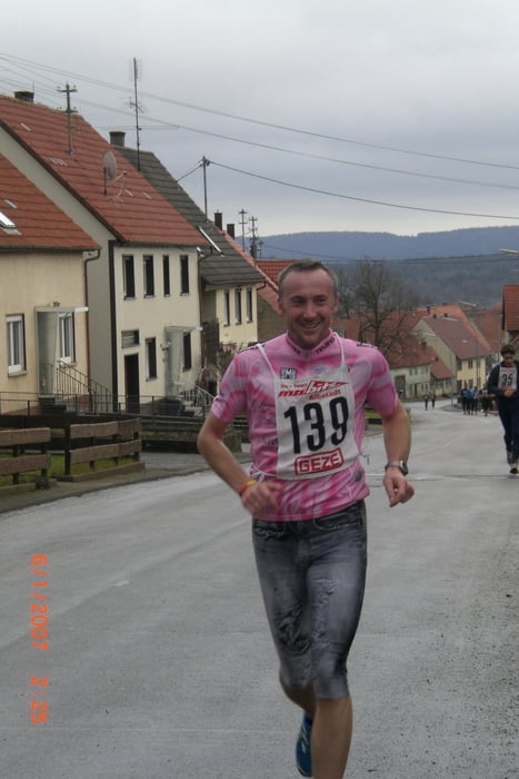
Die Organisatoren sollten sich einen anderen Namen, wie Hechinger-Crosslauf oder Hechinger-Waldlauf, für diese sehr wellige Strecke - ohne Panorama -  einfallen lassen!!!

Further information at

/pl/tracks/wyszukaj.html#showSearch

Mapa trasy i profil wysokości

  • Open Street Map
  • Google
Minimum height 476 m Maximum height 573 m Widok szczegółowy

More about the tour author

ewald_hoffmann
Member since 2008

Send private message

Komentarze

GPS tracks

Trackpoints
  • GPX / Garmin Map Source (gpx) download
  • TCX / Garmin Training Center® (tcx) download
  • CRS / Garmin Training Center® (crs) download
  • Google Earth (kml) download
  • G7ToWin (g7t) download
  • TTQV (trk) download
  • Overlay (ovl) download
  • Fugawi (txt) download
  • Kompass (DAV) Track (tk) download
  • Karta trasy (pdf) download
  • Original file of the author (gpx) download

More about the tour author

ewald_hoffmann
Member since 2008

Send private message
Share track
Add to my favorites
Remove from my favorites
Edit tags
My score
Rate
Trasa: 2. Hechinger Panoramalauf 2012
Rodzaj: Biegi
Długość: 10,3 km
Evaluated on:
Czas trwania:
Day(s)
Hour(s)
Minute(s)
Ocena: Krajobraz Czynnik zadowolenia Kondycja Technika