


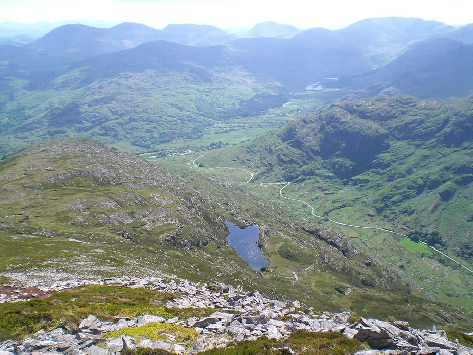
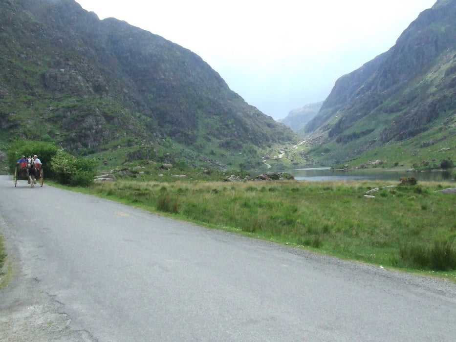
Bergwanderung im Südwesten Irlands mit grandioser Aussicht auf die Seen von Killarney und die höchsten Berge Irlands, die Macgillycuddy Reeks. Der Rückweg führt durchs Gap of Dunloe, einem tief eingeschnittenen Tal welches durch die steil abfallenden Abbrüche des Purple Mounten auf der einen und der Reeks auf der anderen Seite begrenzt wird.
Galeria trasy

Mapa trasy i profil wysokości
Minimum height 6 m
Maximum height 830 m
More about the tour author

|
Millstreetman |
Komentarze

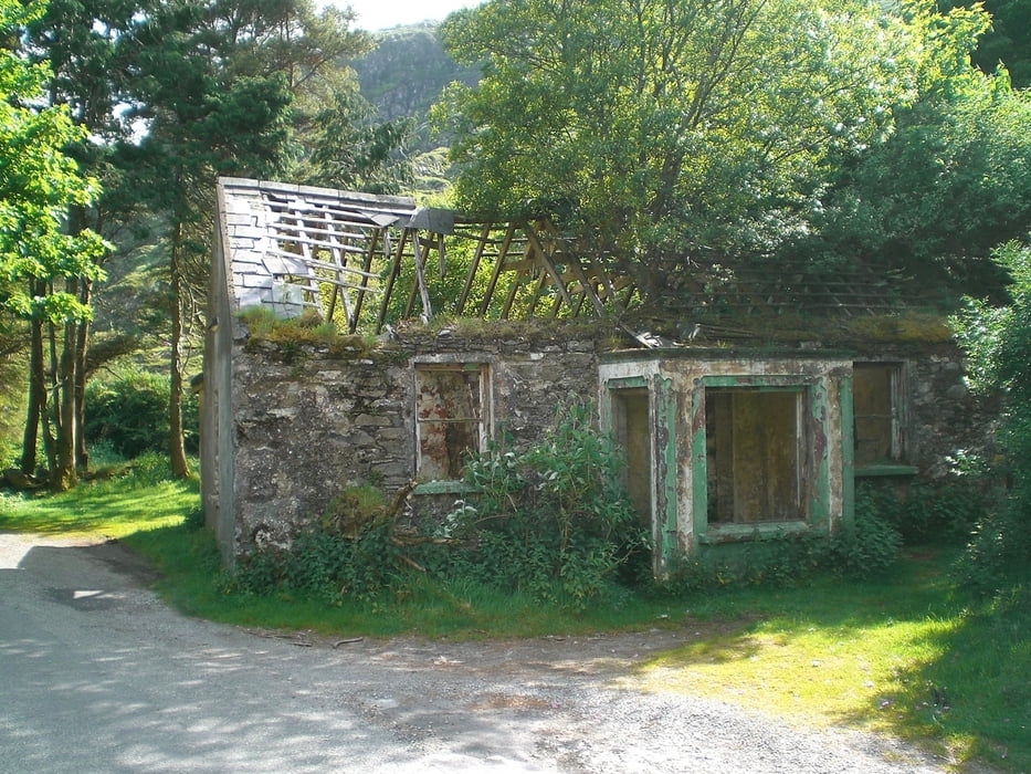
Start der Tour ist an Kate Karneys Cottage (hier ist auch ein Parkplatz). Von Killarney kommend auf dem Ring of Kerry richtung Killorglin. In Beaufort links abbiegen und der Beschilderung Richtung Gap of Dunloe folgen.
GPS tracks
Trackpoints-
GPX / Garmin Map Source (gpx) download
-
TCX / Garmin Training Center® (tcx) download
-
CRS / Garmin Training Center® (crs) download
-
Google Earth (kml) download
-
G7ToWin (g7t) download
-
TTQV (trk) download
-
Overlay (ovl) download
-
Fugawi (txt) download
-
Kompass (DAV) Track (tk) download
-
Karta trasy (pdf) download
-
Original file of the author (gpx) download
More about the tour author
|
|
Millstreetman |
Add to my favorites
Remove from my favorites
Edit tags
Open track
My score
Rate