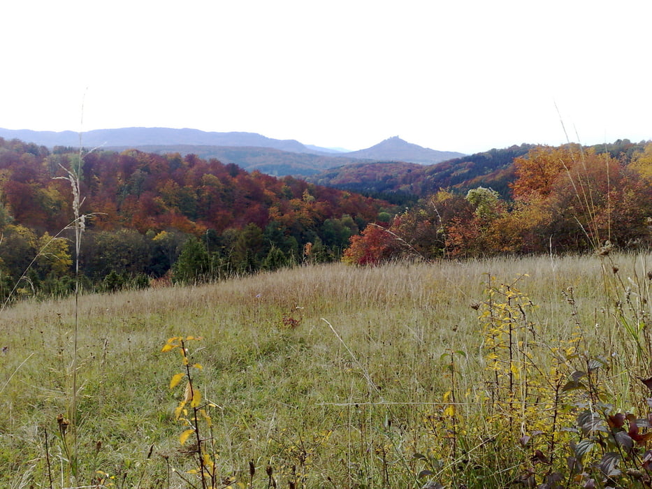
Landschaftlich herrliche Tour: Highlights wie Beurener Heide, Mössinger Bergrutsch, Kornbühl inklusive. Einfach zu fahren, gut die Hälfte davon im Wald. Kurze knackige Steigung am Aufstieg nach Beuren. Danach alles moderat.
Galeria trasy
Mapa trasy i profil wysokości
Minimum height 505 m
Maximum height 817 m
Komentarze

GPS tracks
Trackpoints-
GPX / Garmin Map Source (gpx) download
-
TCX / Garmin Training Center® (tcx) download
-
CRS / Garmin Training Center® (crs) download
-
Google Earth (kml) download
-
G7ToWin (g7t) download
-
TTQV (trk) download
-
Overlay (ovl) download
-
Fugawi (txt) download
-
Kompass (DAV) Track (tk) download
-
Karta trasy (pdf) download
-
Original file of the author (gpx) download
Add to my favorites
Remove from my favorites
Edit tags
Open track
My score
Rate


