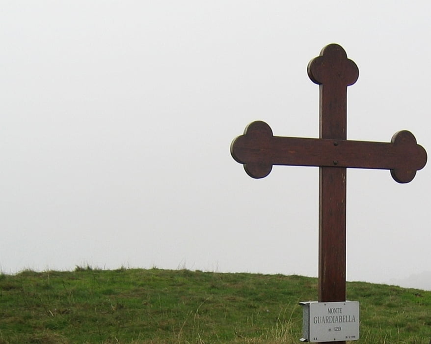
Ausgangspunkt ist der Colle San Bartolomeo. Sehr schöne Wanderung, die oberhalb der Baumgrenze wunderbare Aussicht bietet. Nach dem Gipfel abwärts zu einem Pass mit einem Weghinweis für Biker. Weiter über einen alten Weg und dann über Wiesen zum Rückweg der Anfangs durch Laubwälter geht.
Mapa trasy i profil wysokości
Minimum height 681 m
Maximum height 1219 m
Komentarze

Staatsstraße SS28 dann zum Colle San Bartolomeo. Erreichbar von Imperia und Pieve di Teco
GPS tracks
Trackpoints-
GPX / Garmin Map Source (gpx) download
-
TCX / Garmin Training Center® (tcx) download
-
CRS / Garmin Training Center® (crs) download
-
Google Earth (kml) download
-
G7ToWin (g7t) download
-
TTQV (trk) download
-
Overlay (ovl) download
-
Fugawi (txt) download
-
Kompass (DAV) Track (tk) download
-
Karta trasy (pdf) download
-
Original file of the author (gpx) download
Add to my favorites
Remove from my favorites
Edit tags
Open track
My score
Rate


