
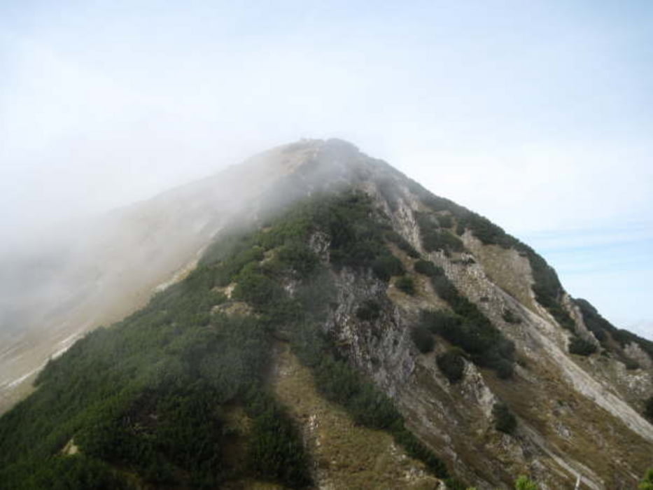

Eine klassische Notlösung ist die Notkarspitze wenn man sich mal wieder für kein Ziel entscheiden kann. Am Ettaler Sattel beginnt unser Weg gut ausgeschildert. Da es eine Rundtour ist gehen wir über den Ochsensitz und Ziegelspitze bis zur Notkarspitze, eigentlich ein sicherer Weg wenn man Trittsicher ist. Der Gipfel ist groß genug um mehrere Wanderer gemütlich Rast zu gewährleisten. Der Rückweg führt uns ins Gießenbachtal, der erste Teil verliert schnell an Höhe und immer durch die Latschen. Am Sattel biegen wir links ab ins Gießenbachtal und gehen stetig nach unten bis zur Roßalm. Hier genießen wir nochmal die letzten Sonnenstrahlen. Jetzt liegt das tiefeingeschnittene Tal im Schatten und wir gehen steil bis zum Talgrund. Der Weg dort führt uns ständig über den Bach bis wir auf eine Forststraße kommen. Dann ist es nicht mehr weit bis zum Parkplatz.
Galeria trasy


Mapa trasy i profil wysokości
Minimum height 874 m
Maximum height 1895 m
More about the tour author
|
|
tazzo |
Komentarze

An der B23 kurz nach oder vor Ettal ist der Ettaler Sattel mit einem Besucherparkplatz (4.-€ pro Tag).
GPS tracks
Trackpoints-
GPX / Garmin Map Source (gpx) download
-
TCX / Garmin Training Center® (tcx) download
-
CRS / Garmin Training Center® (crs) download
-
Google Earth (kml) download
-
G7ToWin (g7t) download
-
TTQV (trk) download
-
Overlay (ovl) download
-
Fugawi (txt) download
-
Kompass (DAV) Track (tk) download
-
Karta trasy (pdf) download
-
Original file of the author (gpx) download
More about the tour author
|
|
tazzo |
Add to my favorites
Remove from my favorites
Edit tags
Open track
My score
Rate