

Diese Tour durch Bönen ist gut bei schlechtem Wetter zu laufen, denn es geht nur über Bürgersteige und eine Feldstraße.
Die Feldstraße ist nicht sonderlich lang und es fahren auch nicht so sehr viele Autos dort entlang.
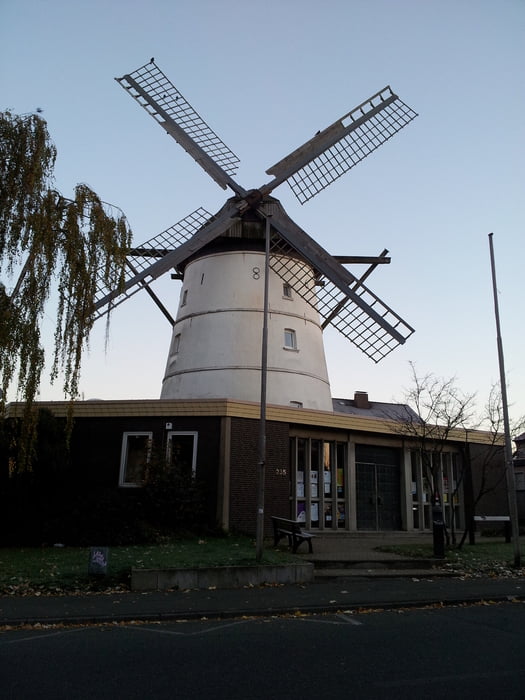
Sie führt uns am Bönener Trimm-dich-Wald entlang und ein Stück über die Bahnhofstraße, vorbei an der Mühle in Bönen.
Wer mit Kindern unterwegs ist, kann an einem Bolzplatz und an einem Spielplatz einen Stopp machen.
Auf der Bahnhofstraße kommt man an einer Pizzeria vorbei.
Galeria trasy


Mapa trasy i profil wysokości
Minimum height 65 m
Maximum height 120 m
More about the tour author

|
feyaria |
Komentarze

Diese Tour kann von mehreren Stellen aus starten.
Der beste Startpunkt ist am Wanderparkplatz - Kletterpoth in Bönen.
GPS tracks
Trackpoints-
GPX / Garmin Map Source (gpx) download
-
TCX / Garmin Training Center® (tcx) download
-
CRS / Garmin Training Center® (crs) download
-
Google Earth (kml) download
-
G7ToWin (g7t) download
-
TTQV (trk) download
-
Overlay (ovl) download
-
Fugawi (txt) download
-
Kompass (DAV) Track (tk) download
-
Karta trasy (pdf) download
-
Original file of the author (gpx) download
More about the tour author
|
|
feyaria |
Add to my favorites
Remove from my favorites
Edit tags
Open track
My score
Rate