Login

Zapomniałeś swój login?

Cookies have to be accepted!
Your browser's cookie functionality is disabled. Please enable this functionality.

Not a member yet?

Register now
Login

Available for registred users only

Log in to use this feature.

Zapomniałeś swój login?

Cookies have to be accepted!
Your browser's cookie functionality is disabled. Please enable this functionality.

Not a member yet?

Register now
Filter
Kategorie
Advanced filters
  • Długość (km)
  • Wysokość
Zapisz filtr Reset filter

TrackRank

QRCode

Technical data

Długość12,3 km Wysokość605 m Way down589 m Czas trwania03:30 h:m Data28.10.2012
Oceny Author User Krajobraz Czynnik zadowolenia Kondycja Technika

Statystyka

366 Widoki 1 Ocena 71 Downloads / Pliki do pobrania 5.00 Przeciętnie
Rate
  • Karta trasy
  • Dojazd
  • Downloads / Pliki do pobrania

Eine Herbstwanderung.

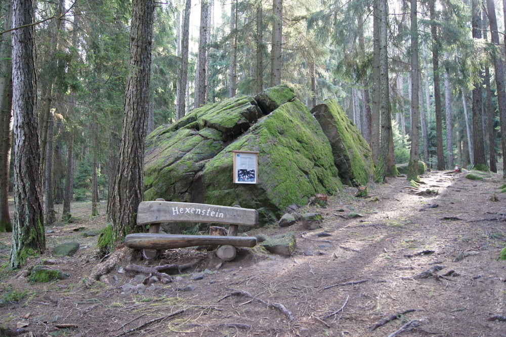
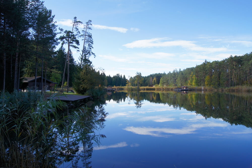
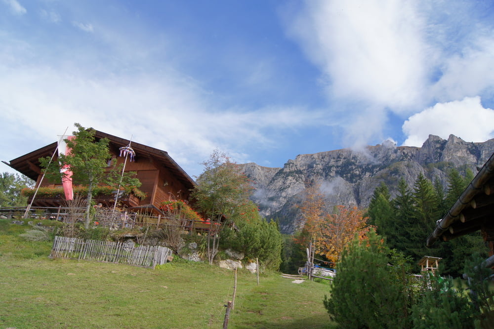
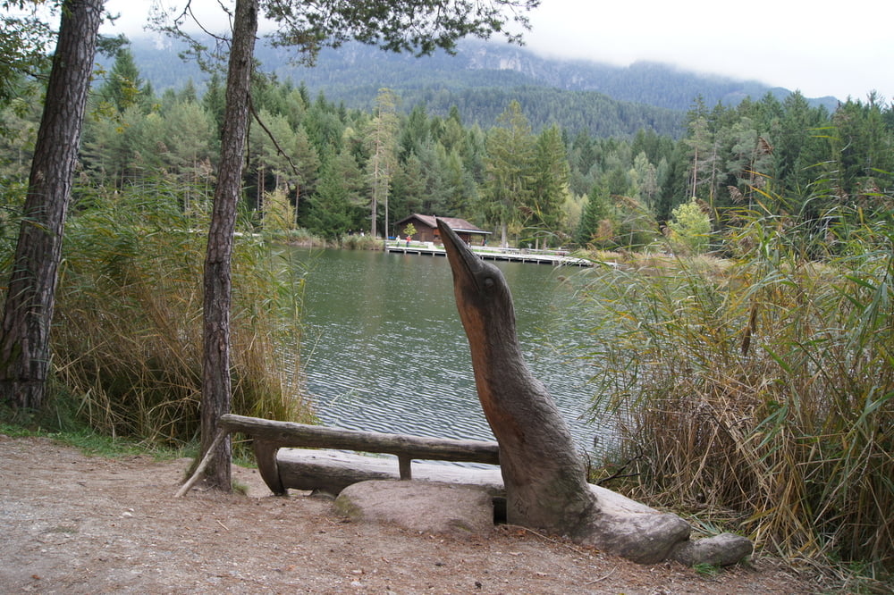
Beginnend am Campingplatz Seiser Alm führt uns der Weg ins kleine Städtchen Ums. Es folgt der Anstieg hinauf zum Hofer Alpl in 1364m Höhe, ein nettes Plätzchen um eine Rast einzulegen. Weiter geht es vorbei an der Tuffalm bergab über Waldwege zum Huber Weiher und Völser Weiher und zurück zum Campingplatz.


Galeria trasy

Mapa trasy i profil wysokości

  • Open Street Map
  • Google
Minimum height 926 m Maximum height 1403 m Widok szczegółowy

More about the tour author

schmitzk
Member since 2009

Send private message

Komentarze

Der Wanderweg beginnt oberhalb des Campingplatzes Seiser Alm. Alternativ ist ein Einstieg auch gut in Ums möglich. Hier sind einige Parkplätze vorhanden.

GPS tracks

Trackpoints
  • GPX / Garmin Map Source (gpx) download
  • TCX / Garmin Training Center® (tcx) download
  • CRS / Garmin Training Center® (crs) download
  • Google Earth (kml) download
  • G7ToWin (g7t) download
  • TTQV (trk) download
  • Overlay (ovl) download
  • Fugawi (txt) download
  • Kompass (DAV) Track (tk) download
  • Karta trasy (pdf) download
  • Original file of the author (gpx) download

More about the tour author

schmitzk
Member since 2009

Send private message
Share track
Add to my favorites
Remove from my favorites
Edit tags
My score
Rate
Trasa: Herbstwanderung zum Hofer Alpl
Rodzaj: Wędrówki
Długość: 12,3 km
Evaluated on:
Czas trwania:
Day(s)
Hour(s)
Minute(s)
Ocena: Krajobraz Czynnik zadowolenia Kondycja Technika