Login

Zapomniałeś swój login?

Cookies have to be accepted!
Your browser's cookie functionality is disabled. Please enable this functionality.

Not a member yet?

Register now
Login

Available for registred users only

Log in to use this feature.

Zapomniałeś swój login?

Cookies have to be accepted!
Your browser's cookie functionality is disabled. Please enable this functionality.

Not a member yet?

Register now
Filter
Kategorie
Advanced filters
  • Długość (km)
  • Wysokość
Zapisz filtr Reset filter

TrackRank

QRCode

Technical data

Długość4,7 km Wysokość11 m Way down10 m Czas trwania01:45 h:m Data02.11.2012
Oceny Author Krajobraz Czynnik zadowolenia Kondycja Technika

Statystyka

263 Widoki Oceny 31 Downloads / Pliki do pobrania Przeciętnie
Rate
  • Karta trasy
  • Dojazd
  • Downloads / Pliki do pobrania

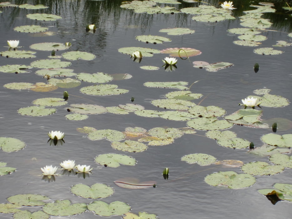
Riisa Raba Hochmoorwanderung

Somaa Nationalpark

Diese Rundwanderung ist von der Anfahrt von Pärnu her die Kürzeste. Die Wanderung ist 4,5km lang und dauert etwa 1,5Std. 

Further information at

https://www.google.at/search?q=riisa+raba&hl=de&prmd=imvns&tbm=isch&tbo=u&source=univ&sa=X&ei=Lj-UUJ6_C4TKsgbU04GoCA&sqi=2&ved=0CDAQsAQ&biw=1366&bih=622

Galeria trasy

Mapa trasy i profil wysokości

  • Open Street Map
  • Google
Minimum height 23 m Maximum height 33 m Widok szczegółowy

More about the tour author

der_Bergverfuehrer
Member since 2012

Send private message

Komentarze

von josuu kommend links an der hauptstraße, ein schild zeigt den eingang zum rundwanderweg

GPS tracks

Trackpoints
  • GPX / Garmin Map Source (gpx) download
  • TCX / Garmin Training Center® (tcx) download
  • CRS / Garmin Training Center® (crs) download
  • Google Earth (kml) download
  • G7ToWin (g7t) download
  • TTQV (trk) download
  • Overlay (ovl) download
  • Fugawi (txt) download
  • Kompass (DAV) Track (tk) download
  • Karta trasy (pdf) download
  • Original file of the author (gpx) download

More about the tour author

der_Bergverfuehrer
Member since 2012

Send private message
Share track
Add to my favorites
Remove from my favorites
Edit tags
My score
Rate
Trasa: riisa raba hochmoorwanderung
Rodzaj: Wędrówki
Długość: 4,7 km
Evaluated on:
Czas trwania:
Day(s)
Hour(s)
Minute(s)
Ocena: Krajobraz Czynnik zadowolenia Kondycja Technika