


2 Tages Tour Teil 1 - Sois - Eisenstein - Hohenstein - Sois
start in kirchberg an der pielach ortsteil sois - im hintersten winkel - dort wo sich die wanderwege vom hohenstein und eisenstein kreuzen.
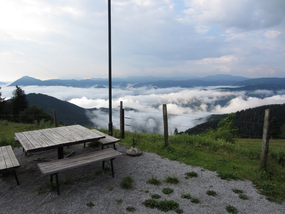
erster teil der Wanderung führt gerade aus auf den eisenstein zur Julius seitner hütte ca. 2,5 std.
du gehst entlang des soisbaches zum loicheck, dechts den Forstweg den langseitenbach entlang, übers gschoad zum eisenstein
Further information at
http://huetten.alpenverein.at/huettenHome/DE/Home/index.php?huetteNr=0117Galeria trasy


Mapa trasy i profil wysokości
Minimum height 421 m
Maximum height 1186 m
More about the tour author
|
|
der_Bergverfuehrer |
Komentarze

St. Pölten - Pielachtal - Kirchberg - unmittelbar nach der AWI Tankstelle (Brücke Soisbach) links in die Sois abbiegen.
N47° 59,721'
E15° 27,410'
GPS tracks
Trackpoints-
GPX / Garmin Map Source (gpx) download
-
TCX / Garmin Training Center® (tcx) download
-
CRS / Garmin Training Center® (crs) download
-
Google Earth (kml) download
-
G7ToWin (g7t) download
-
TTQV (trk) download
-
Overlay (ovl) download
-
Fugawi (txt) download
-
Kompass (DAV) Track (tk) download
-
Karta trasy (pdf) download
-
Original file of the author (gpx) download
More about the tour author
|
|
der_Bergverfuehrer |
Add to my favorites
Remove from my favorites
Edit tags
Open track
My score
Rate