Login

Zapomniałeś swój login?

Cookies have to be accepted!
Your browser's cookie functionality is disabled. Please enable this functionality.

Not a member yet?

Register now
Login

Available for registred users only

Log in to use this feature.

Zapomniałeś swój login?

Cookies have to be accepted!
Your browser's cookie functionality is disabled. Please enable this functionality.

Not a member yet?

Register now
Filter
Kategorie
Advanced filters
  • Długość (km)
  • Wysokość
Zapisz filtr Reset filter

TrackRank

QRCode

Technical data

Długość7,7 km Wysokość384 m Way down380 m Czas trwania02:40 h:m Data02.11.2012
Oceny Author Krajobraz Czynnik zadowolenia Kondycja Technika

Statystyka

219 Widoki Oceny 4 Downloads / Pliki do pobrania Przeciętnie
Rate
  • Karta trasy
  • Dojazd
  • Downloads / Pliki do pobrania

2 Tages Tour Teil 2 Sois - Eisenstein - Hohenstein - Sois

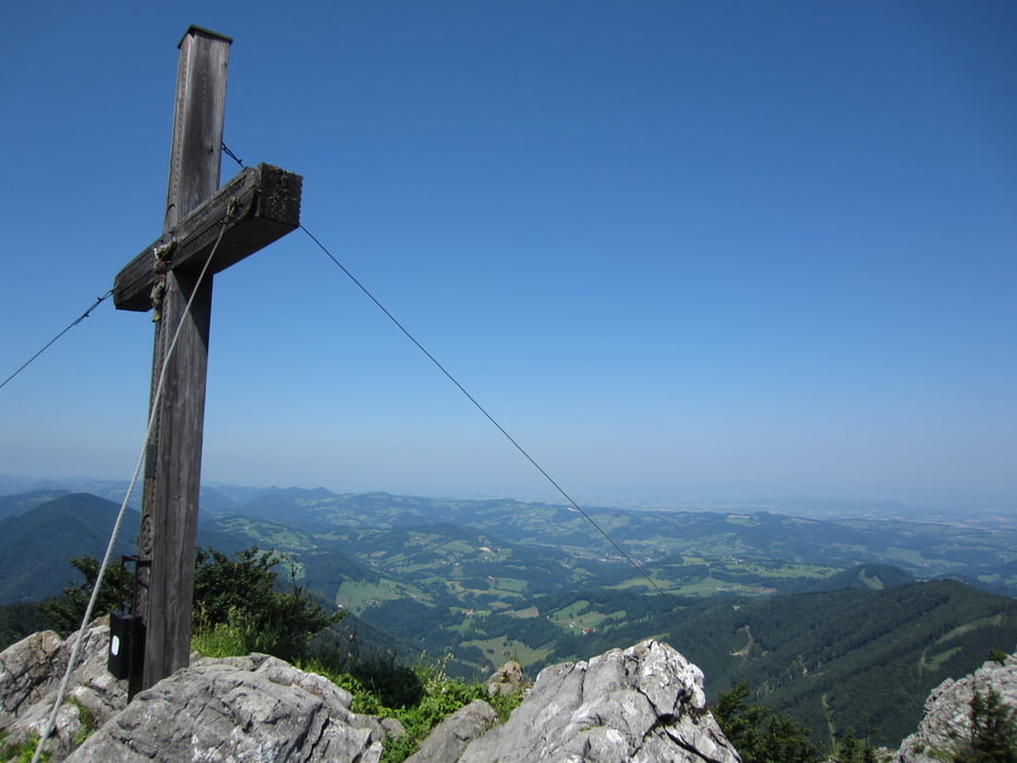
der 2te teil der Wanderung führt vom eisenstein zurück zum gschoad hinauf auf den hohenstein zum Otto kandler haus auf 1.195m

diese hütte ist jedoch nur zwischen April und Oktober an den wochenden geöffnet (offener winterraum steht zur verfügung)


Further information at

http://www.alpenverein.at/sankt-poelten/huetten/1_otto_kandler_haus.php

Galeria trasy

Mapa trasy i profil wysokości

  • Open Street Map
  • Google
Minimum height 850 m Maximum height 1186 m Widok szczegółowy

More about the tour author

der_Bergverfuehrer
Member since 2012

Send private message

Komentarze

Weiterführung der Wanderung von der Julius seitner hütte zum Otto kandler haus

GPS tracks

Trackpoints
  • GPX / Garmin Map Source (gpx) download
  • TCX / Garmin Training Center® (tcx) download
  • CRS / Garmin Training Center® (crs) download
  • Google Earth (kml) download
  • G7ToWin (g7t) download
  • TTQV (trk) download
  • Overlay (ovl) download
  • Fugawi (txt) download
  • Kompass (DAV) Track (tk) download
  • Karta trasy (pdf) download
  • Original file of the author (gpx) download

More about the tour author

der_Bergverfuehrer
Member since 2012

Send private message
Share track
Add to my favorites
Remove from my favorites
Edit tags
My score
Rate
Trasa: 2 tages tour teil 2 sois - eisenstein - hohenstein - sois
Rodzaj: Wędrówki
Długość: 7,7 km
Evaluated on:
Czas trwania:
Day(s)
Hour(s)
Minute(s)
Ocena: Krajobraz Czynnik zadowolenia Kondycja Technika