Login

Zapomniałeś swój login?

Cookies have to be accepted!
Your browser's cookie functionality is disabled. Please enable this functionality.

Not a member yet?

Register now
Login

Available for registred users only

Log in to use this feature.

Zapomniałeś swój login?

Cookies have to be accepted!
Your browser's cookie functionality is disabled. Please enable this functionality.

Not a member yet?

Register now
Filter
Kategorie
Advanced filters
  • Długość (km)
  • Wysokość
Zapisz filtr Reset filter

TrackRank

QRCode

Technical data

Długość46,1 km Wysokość1168 m Way down923 m Czas trwania03:00 h:m Data03.11.2012
Oceny Author User Krajobraz Czynnik zadowolenia Kondycja Technika

Statystyka

697 Widoki 3 Oceny 126 Downloads / Pliki do pobrania 3.33 Przeciętnie
Rate
  • Karta trasy
  • Dojazd
  • Downloads / Pliki do pobrania
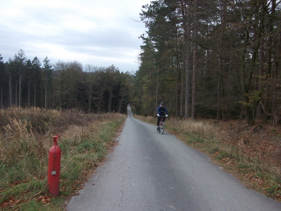
Hallo ich bin die Tour im Herbst bei Regen gefahren und alles war gut. Die Strecke kann man auch im Winter fahren da die ganzen Wege gut befestigt sind. Daher gibt es auch keine Single Trails oder sonst irgend was. Die Tour ist mehr so zum ausklingen gedacht da man auch bei schlechtem Wetter fahren kann. Müßt Ihr mal ausprobieren.
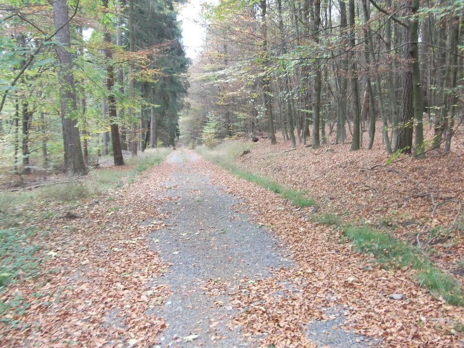
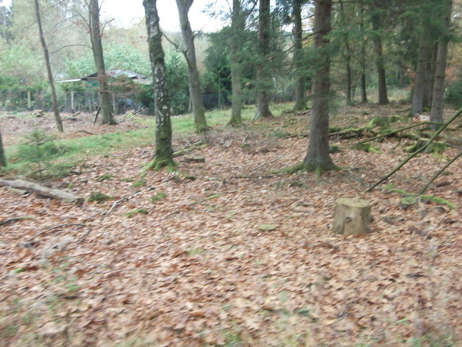
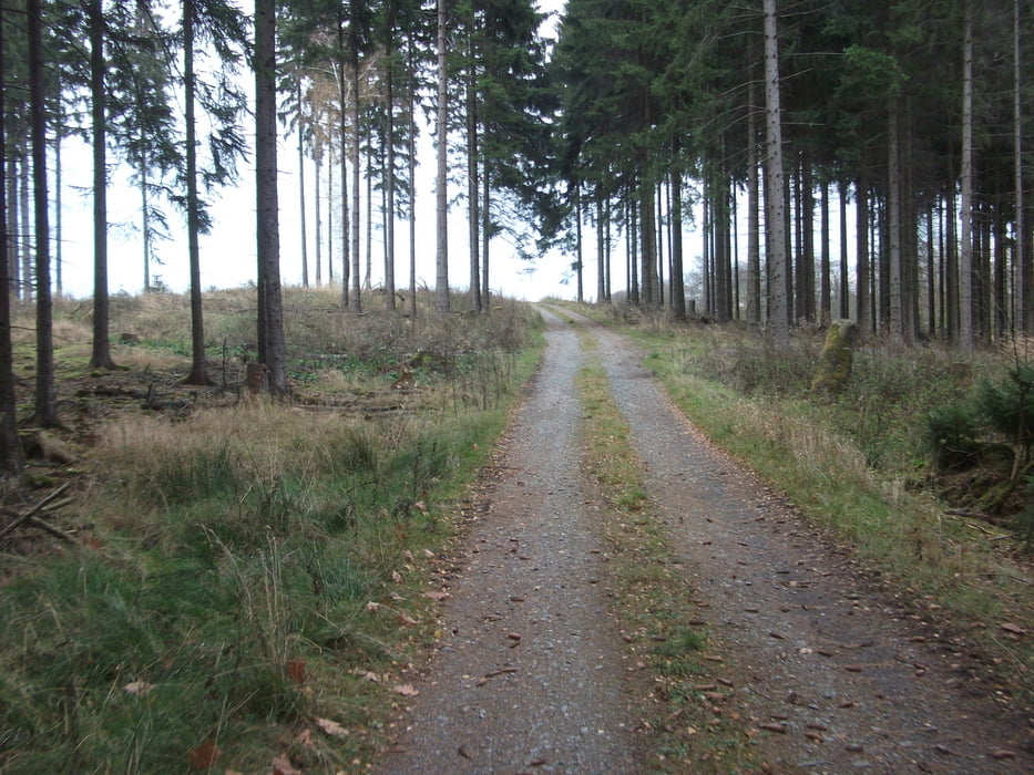
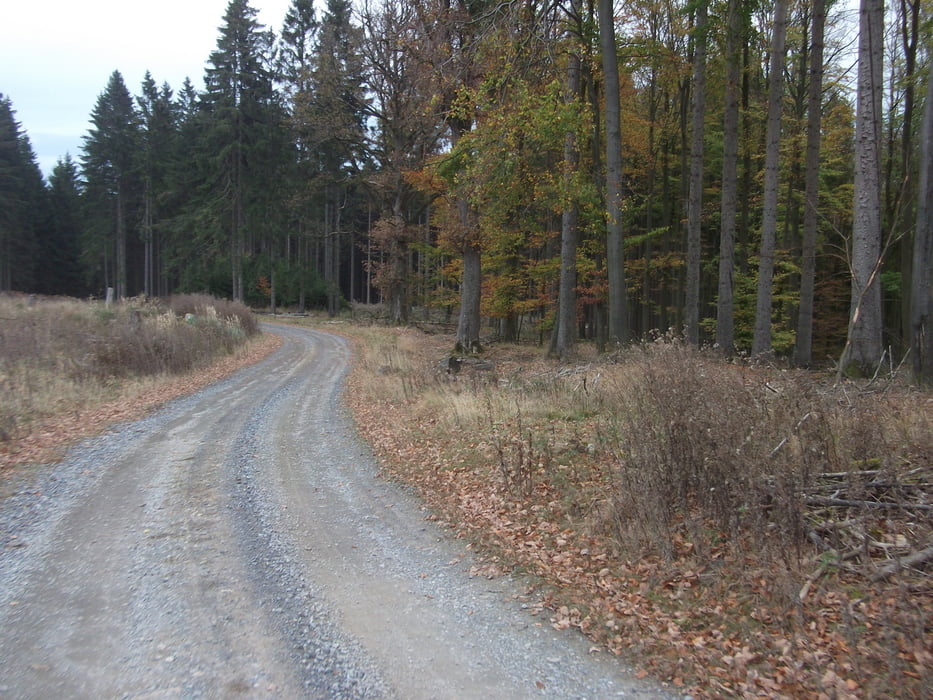
Galeria trasy

Mapa trasy i profil wysokości

  • Open Street Map
  • Google
Minimum height 244 m Maximum height 671 m Widok szczegółowy

More about the tour author

HiBike
Member since 2011

Send private message

Komentarze

MichaelJudith on 11.05.2015

Möhnesee

Eine schöne Tour um unkompliziert Stecke und Höhenmeter zu machen. Bin sie bei schönem Wetter gefahren. Auch hier ist die Runde zu empfehlen, da sie immer wieder durch offenes Gelände führt und die Sonne genossen werden kann. Spannend wurde es bei Kilometer 9,4 (Wannestraße), wo die Brücke über einen Bach fehlt. Bei schönem Wetter kein Problem, irgendwie kommt man da trockenen Fußes durch, bei schlechtem Wetter ist's egal, dann sind die Füße bis dahin eh schon nass.
Auf die A44 Abfahrt Möhnesee , dann nicht Richtung Sperrmauer sonder Richtung Brünningen / Fußballplatz. Wenn ihr am Fußballplatz vorbei seit den Berg hoch bis nach oben , da ist ein Parkplatz.

GPS tracks

Trackpoints
  • GPX / Garmin Map Source (gpx) download
  • TCX / Garmin Training Center® (tcx) download
  • CRS / Garmin Training Center® (crs) download
  • Google Earth (kml) download
  • G7ToWin (g7t) download
  • TTQV (trk) download
  • Overlay (ovl) download
  • Fugawi (txt) download
  • Kompass (DAV) Track (tk) download
  • Karta trasy (pdf) download
  • Original file of the author (gpx) download

More about the tour author

HiBike
Member since 2011

Send private message
Share track
Add to my favorites
Remove from my favorites
Edit tags
My score
Rate
Trasa: Möhnesee
Rodzaj: Rower górski (MTB)
Długość: 46,1 km
Evaluated on:
Czas trwania:
Day(s)
Hour(s)
Minute(s)
Ocena: Krajobraz Czynnik zadowolenia Kondycja Technika