

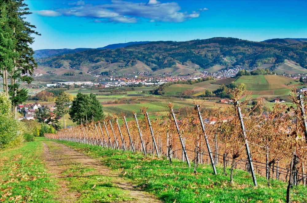
Tour startet in Oberkirch und geht über:
St. Wendel
Schloss Staufenberg
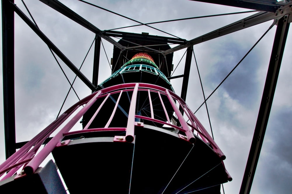
Brandeckturm
Hohes Horn (Turm)
Moosturm
Geigerskopf-Turm
Viel Forstweg, einige Trails, viel Aussichten, eine schöne Tagestour.
Further information at
http://randypanguitch.wordpress.com/randy-panguitch-startseite/mtb-touren/tagestouren/tagestouren_deutschland/tt_d_4_tuerme/Galeria trasy


Mapa trasy i profil wysokości
Minimum height 185 m
Maximum height 901 m
More about the tour author
|
|
RandB |
Komentarze

Parken vor dem Ortseingang Oberkirch auf dem Parkplatz am Skaterplatz.
GPS tracks
Trackpoints-
GPX / Garmin Map Source (gpx) download
-
TCX / Garmin Training Center® (tcx) download
-
CRS / Garmin Training Center® (crs) download
-
Google Earth (kml) download
-
G7ToWin (g7t) download
-
TTQV (trk) download
-
Overlay (ovl) download
-
Fugawi (txt) download
-
Kompass (DAV) Track (tk) download
-
Karta trasy (pdf) download
-
Original file of the author (gpx) download
More about the tour author
|
|
RandB |
Add to my favorites
Remove from my favorites
Edit tags
Open track
My score
Rate