


Auf der Straße bis Beerbach, an Kreuzung rechts mit Rotpunkt ins Tal, links, nach Feuerwehrhaus rechts zum Waldrand. Mit Gelbkreuz zur Kirche, über den Friedhof mit Rotpunkt zur Nikolausquelle, über die Flur bis Anwesen, rechts ab zum Wandrand, wieder rechts auf Weg zu Weihern, nach diesen auf Teerweg zur Straße nach Tauchersreuth. Auf der wenig befahrenen Straße (später auf Wiesenweg) zum Parkplatz.
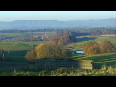
Galeria trasy


Mapa trasy i profil wysokości
Minimum height 354 m
Maximum height 434 m
More about the tour author
|
|
heinz-57 |
Komentarze

Auf der B2 von Nürnberg oder Eckental kommend nach Kleingeschaidt und Richtung Tauchersreuth. Am Wandrand links Parkmöglichkeit bei Wegweiser "Beerbach".
GPS tracks
Trackpoints-
GPX / Garmin Map Source (gpx) download
-
TCX / Garmin Training Center® (tcx) download
-
CRS / Garmin Training Center® (crs) download
-
Google Earth (kml) download
-
G7ToWin (g7t) download
-
TTQV (trk) download
-
Overlay (ovl) download
-
Fugawi (txt) download
-
Kompass (DAV) Track (tk) download
-
Karta trasy (pdf) download
-
Original file of the author (gpx) download
More about the tour author
|
|
heinz-57 |
Add to my favorites
Remove from my favorites
Edit tags
Open track
My score
Rate