Login

Zapomniałeś swój login?

Cookies have to be accepted!
Your browser's cookie functionality is disabled. Please enable this functionality.

Not a member yet?

Register now
Login

Available for registred users only

Log in to use this feature.

Zapomniałeś swój login?

Cookies have to be accepted!
Your browser's cookie functionality is disabled. Please enable this functionality.

Not a member yet?

Register now
Filter
Kategorie
Advanced filters
  • Długość (km)
  • Wysokość
Zapisz filtr Reset filter

TrackRank

QRCode

Technical data

Długość11,7 km Wysokość318 m Way down329 m Czas trwania03:00 h:m Data23.11.2012
Oceny Author Krajobraz Czynnik zadowolenia Kondycja Technika

Statystyka

417 Widoki Oceny 69 Downloads / Pliki do pobrania Przeciętnie
Rate
  • Karta trasy
  • Dojazd
  • Downloads / Pliki do pobrania

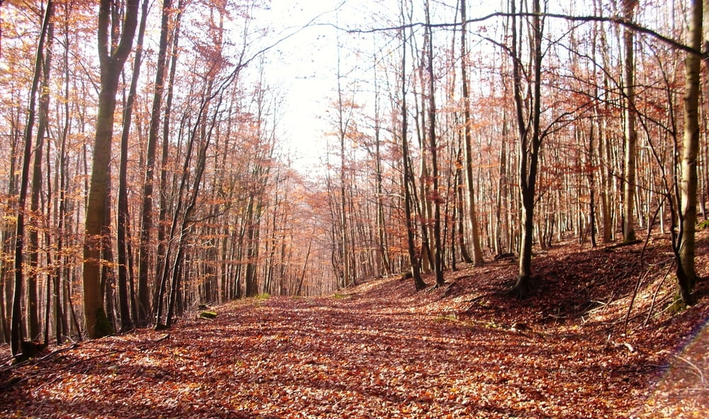
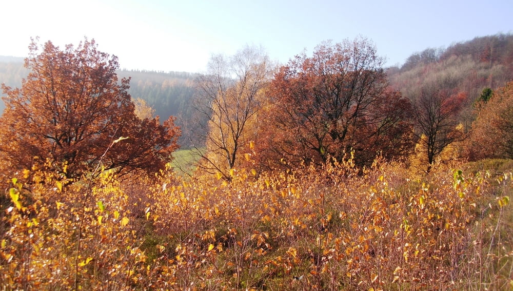
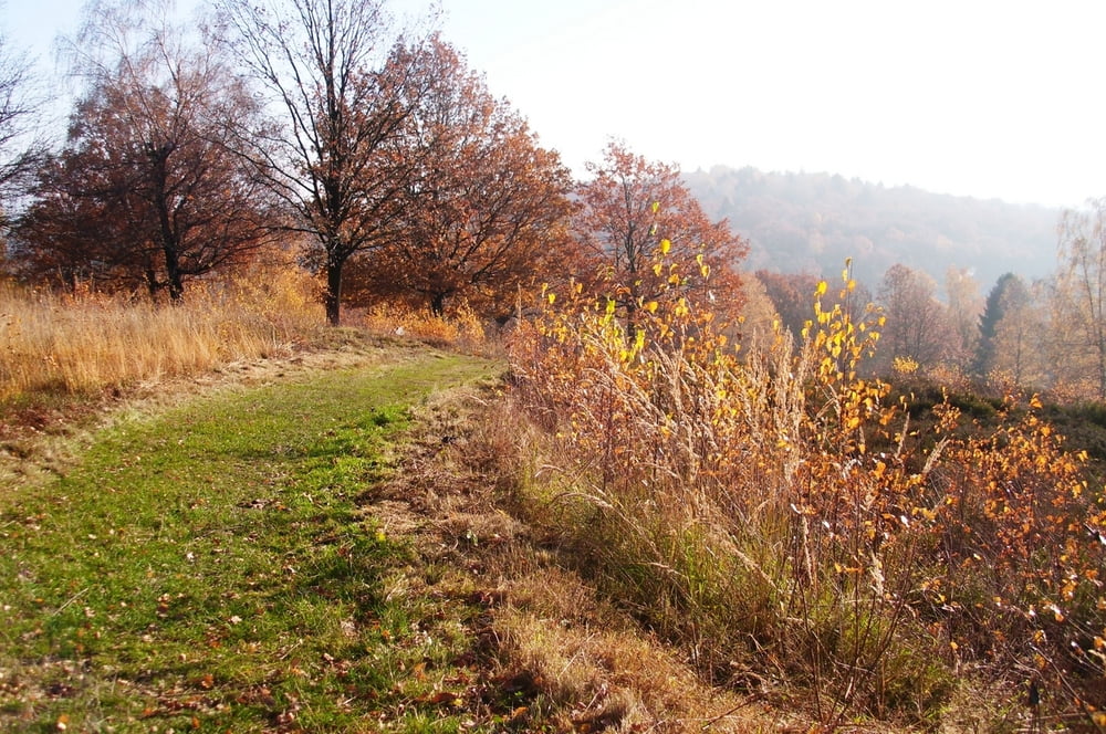
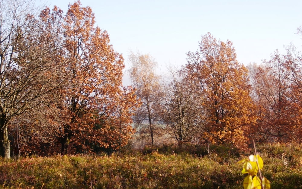
Diese Wanderung führt dich vom Bärenstein über den Hermannsweg  in Richtung Berlebeck.

Zu Beginn geht es mit wunderschönen Aussichten  steil bergauf. Später durch schöne Waldgebiete. Insgesamt eine schöne Strecke. Aus Zeitgründen habe ich die Strecke ohne Probleme 2 x gekürzt. Statt 16, nun 12 km. Das Stück an der Straße ist nicht so schön, Du kannst aber durch das Bachbett gehen.

Viel Spaß beim Nachwandern.

Galeria trasy

Mapa trasy i profil wysokości

  • Open Street Map
  • Google
Minimum height 222 m Maximum height 383 m Widok szczegółowy

More about the tour author

radrolle48
Member since 2009

Send private message

Komentarze

GPS tracks

Trackpoints
  • GPX / Garmin Map Source (gpx) download
  • TCX / Garmin Training Center® (tcx) download
  • CRS / Garmin Training Center® (crs) download
  • Google Earth (kml) download
  • G7ToWin (g7t) download
  • TTQV (trk) download
  • Overlay (ovl) download
  • Fugawi (txt) download
  • Kompass (DAV) Track (tk) download
  • Karta trasy (pdf) download
  • Original file of the author (gpx) download

More about the tour author

radrolle48
Member since 2009

Send private message
Share track
Add to my favorites
Remove from my favorites
Edit tags
My score
Rate
Trasa: Holzhausen/Extersteine
Rodzaj: Wędrówki
Długość: 11,7 km
Evaluated on:
Czas trwania:
Day(s)
Hour(s)
Minute(s)
Ocena: Krajobraz Czynnik zadowolenia Kondycja Technika