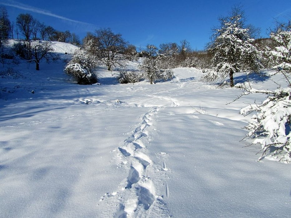
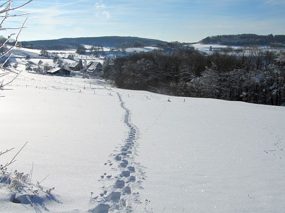
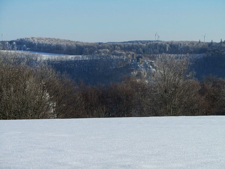
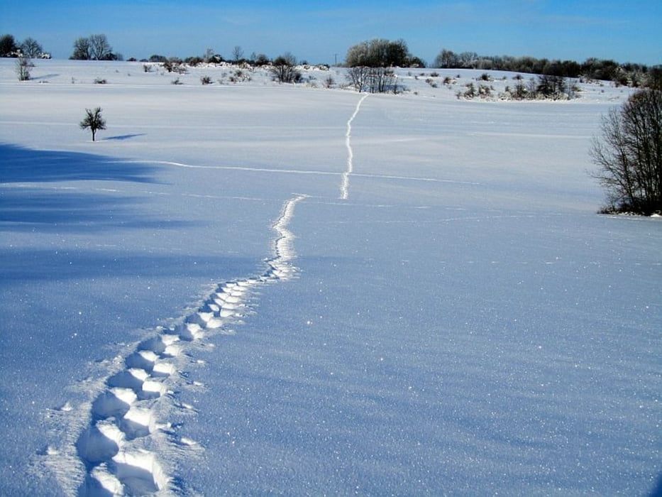
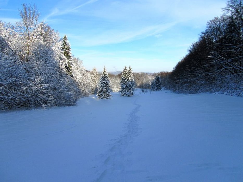
Eine mittlere Schneeschuhtour durch den Vulkankrater, vorbei am Hof Randeck hoch zur Burgstelle Randeck.
Da die Tour nicht zu lang und nicht zu steil ist, ist sie optimal geeignet, um die Schneeschuhtour-Muskeln aus ihrem Sommerschlaf zu wecken ;-)
Galeria trasy
Mapa trasy i profil wysokości
Minimum height 697 m
Maximum height 803 m
Komentarze

Parkplatz bei N48° 34.284 E9° 31.078
GPS tracks
Trackpoints-
GPX / Garmin Map Source (gpx) download
-
TCX / Garmin Training Center® (tcx) download
-
CRS / Garmin Training Center® (crs) download
-
Google Earth (kml) download
-
G7ToWin (g7t) download
-
TTQV (trk) download
-
Overlay (ovl) download
-
Fugawi (txt) download
-
Kompass (DAV) Track (tk) download
-
Karta trasy (pdf) download
-
Original file of the author (gpx) download
Add to my favorites
Remove from my favorites
Edit tags
Open track
My score
Rate

