


Start in San Agustin - ca. 11 km auf der Küstenstrasse ri. Osten - links abbiegen ri. Aldea Blanca - den kleinen Ort Aldea Blanca durchfahren und ri. Barranco Tirajana verlassen - hier endet der Asphalt - stetig bergauf auf der linken Seite der Tirajana Schlucht, spektakuläre Ausblicke auf das Barranco und den Pico Nieves - kurz vor SanBartolome auf Asphaltstrasse - SanBartolome.
Rückweg über Fataga - ca. 3 km nach Fataga rechts auf Schottertrail abbiegen - durch das Barranco de Fataga bis Maspalomas Parque Sur - Strasse nach San Agustin.
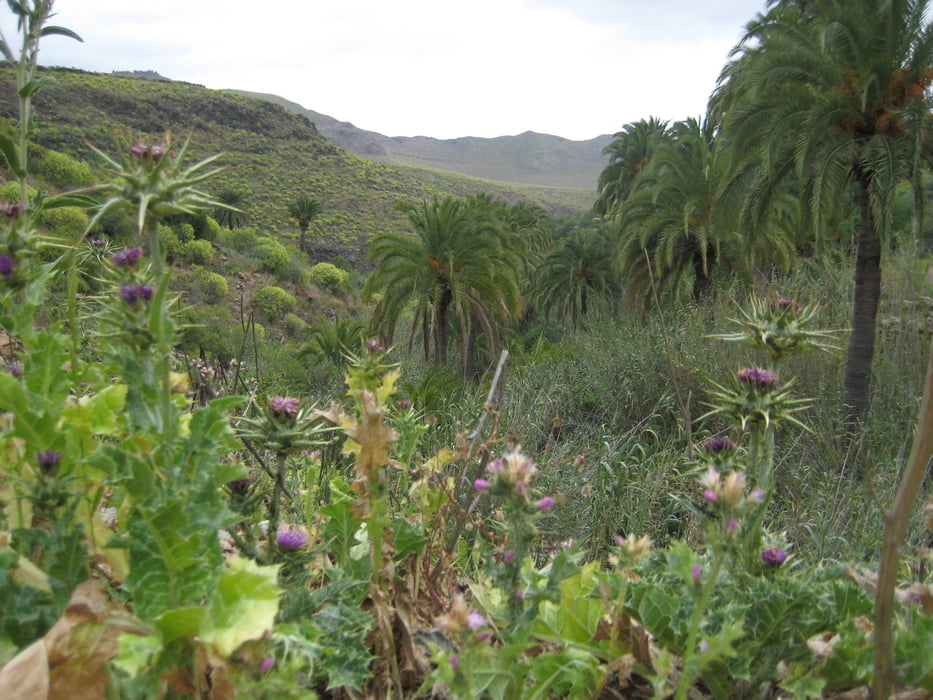
Galeria trasy


Mapa trasy i profil wysokości
Minimum height 55 m
Maximum height 996 m
More about the tour author

|
grinsekota |
Komentarze
GPS tracks
Trackpoints-
GPX / Garmin Map Source (gpx) download
-
TCX / Garmin Training Center® (tcx) download
-
CRS / Garmin Training Center® (crs) download
-
Google Earth (kml) download
-
G7ToWin (g7t) download
-
TTQV (trk) download
-
Overlay (ovl) download
-
Fugawi (txt) download
-
Kompass (DAV) Track (tk) download
-
Karta trasy (pdf) download
-
Original file of the author (gpx) download
More about the tour author
|
|
grinsekota |
Add to my favorites
Remove from my favorites
Edit tags
Open track
My score
Rate
Keine schöne Tour
Aufstieg über Schottertrail. Sehr Anspruchsvolle Tour - absolut nichts für Anfänger !