Login

Zapomniałeś swój login?

Cookies have to be accepted!
Your browser's cookie functionality is disabled. Please enable this functionality.

Not a member yet?

Register now
Login

Available for registred users only

Log in to use this feature.

Zapomniałeś swój login?

Cookies have to be accepted!
Your browser's cookie functionality is disabled. Please enable this functionality.

Not a member yet?

Register now
Filter
Kategorie
Advanced filters
  • Długość (km)
  • Wysokość
Zapisz filtr Reset filter

TrackRank

QRCode

Technical data

Długość8,6 km Wysokość191 m Way down41 m Czas trwania02:12 h:m Data08.12.2012
Oceny Author Krajobraz Czynnik zadowolenia Kondycja Technika

Statystyka

2375 Widoki Oceny 77 Downloads / Pliki do pobrania Przeciętnie
Rate
  • Karta trasy
  • Dojazd
  • Downloads / Pliki do pobrania

 Wanderung im Naturpark Kottenforst-Ville (http://www.naturpark-rheinland.de/ )

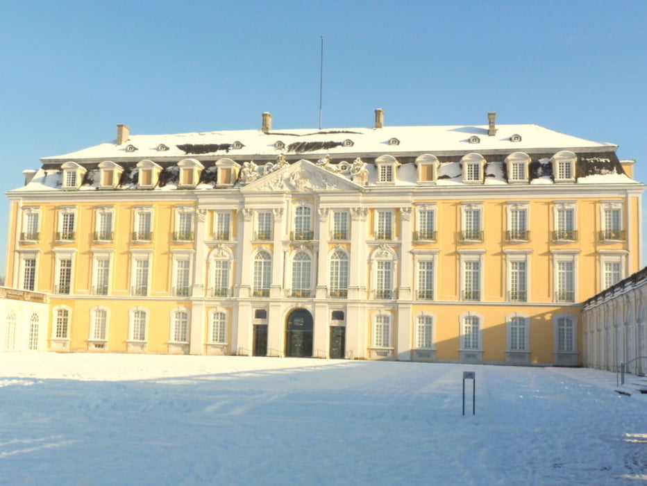
Von Brühl vorbei an Schloss Augustusburg mit leichtem Anstieg zur Ville, über den Heider Bergsee, Obersee, Mittelsee und Untersee nach Erftstadt

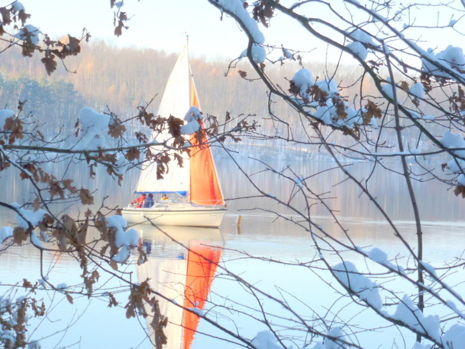
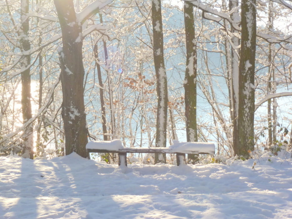
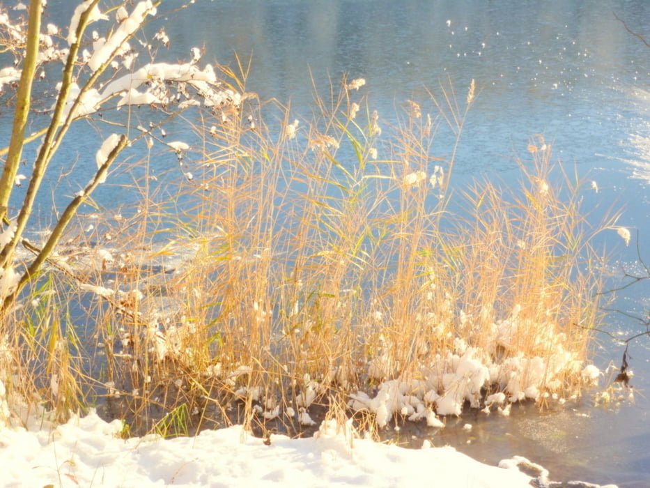
Leichte Wanderung durch das renaturierte ehemalige  Braunkohlenabbaugebiet

Further information at

http://wiki.openstreetmap.org/wiki/Naturpark_Rheinland

Galeria trasy

Mapa trasy i profil wysokości

  • Open Street Map
  • Google
Minimum height -19 m Maximum height 135 m Widok szczegółowy

More about the tour author

horst1508
Member since 2012

Send private message

Komentarze

mif öffentlichen Verkehrsmitteln bis zum Bahnhof Brühl

Zurück vom Bahnhof Erftstadt mit der Bundesbanhn


GPS tracks

Trackpoints
  • GPX / Garmin Map Source (gpx) download
  • TCX / Garmin Training Center® (tcx) download
  • CRS / Garmin Training Center® (crs) download
  • Google Earth (kml) download
  • G7ToWin (g7t) download
  • TTQV (trk) download
  • Overlay (ovl) download
  • Fugawi (txt) download
  • Kompass (DAV) Track (tk) download
  • Karta trasy (pdf) download
  • Original file of the author (gpx) download

More about the tour author

horst1508
Member since 2012

Send private message
Share track
Add to my favorites
Remove from my favorites
Edit tags
My score
Rate
Trasa: Von Brühl Schloss Augustusburg über Ville, Heider Bergsee, Obersee nach Erftstadt
Rodzaj: Wędrówki
Długość: 8,6 km
Evaluated on:
Czas trwania:
Day(s)
Hour(s)
Minute(s)
Ocena: Krajobraz Czynnik zadowolenia Kondycja Technika