Login

Zapomniałeś swój login?

Cookies have to be accepted!
Your browser's cookie functionality is disabled. Please enable this functionality.

Not a member yet?

Register now
Login

Available for registred users only

Log in to use this feature.

Zapomniałeś swój login?

Cookies have to be accepted!
Your browser's cookie functionality is disabled. Please enable this functionality.

Not a member yet?

Register now
Filter
Kategorie
Advanced filters
  • Długość (km)
  • Wysokość
Zapisz filtr Reset filter

TrackRank

QRCode

Technical data

Długość5,1 km Wysokość274 m Way down280 m Czas trwania03:00 h:m Data09.12.2012
Oceny Author Krajobraz Czynnik zadowolenia Kondycja Technika

Statystyka

365 Widoki Oceny 10 Downloads / Pliki do pobrania Przeciętnie
Rate
  • Karta trasy
  • Dojazd
  • Downloads / Pliki do pobrania

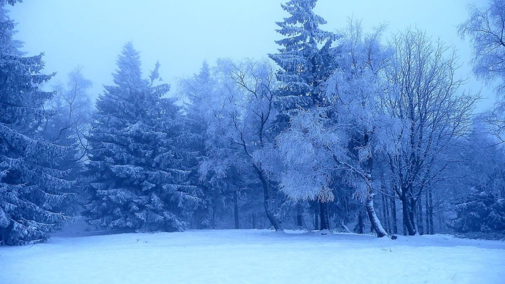
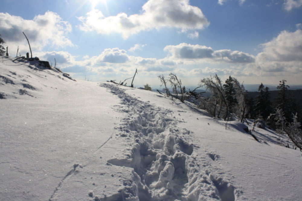
Landschaftlich sehr schöne Schneeschuhtour überweigend im Tiefschnee und nur ganz selten größere Wege tangierend! Insbesondere im Gipfelbereich immer wieder tolle Ausblicke und schöne Landschaft!


Further information at

http://karte.naturpark-hochtaunus.de/

Galeria trasy

Mapa trasy i profil wysokości

  • Open Street Map
  • Google
Minimum height 522 m Maximum height 798 m Widok szczegółowy

More about the tour author

McMueller
Member since 2012

Send private message

Komentarze

Von Frankfurt kommend auf der A 661 Richtung Bad Homburg. Weiter auf die B455 Richtung Königstein. Kurz vor Königstein links ab Richtung Falkenstein.
In Falkenstein links immer der Hauptstrasse folgend bis zum Wanderparkplatz.


GPS tracks

Trackpoints
  • GPX / Garmin Map Source (gpx) download
  • TCX / Garmin Training Center® (tcx) download
  • CRS / Garmin Training Center® (crs) download
  • Google Earth (kml) download
  • G7ToWin (g7t) download
  • TTQV (trk) download
  • Overlay (ovl) download
  • Fugawi (txt) download
  • Kompass (DAV) Track (tk) download
  • Karta trasy (pdf) download
  • Original file of the author (gpx) download

More about the tour author

McMueller
Member since 2012

Send private message
Share track
Add to my favorites
Remove from my favorites
Edit tags
My score
Rate
Trasa: Altkönig von Falkenstein
Rodzaj: Rakiety śnieżne
Długość: 5,1 km
Evaluated on:
Czas trwania:
Day(s)
Hour(s)
Minute(s)
Ocena: Krajobraz Czynnik zadowolenia Kondycja Technika