Login

Zapomniałeś swój login?

Cookies have to be accepted!
Your browser's cookie functionality is disabled. Please enable this functionality.

Not a member yet?

Register now
Login

Available for registred users only

Log in to use this feature.

Zapomniałeś swój login?

Cookies have to be accepted!
Your browser's cookie functionality is disabled. Please enable this functionality.

Not a member yet?

Register now
Filter
Kategorie
Advanced filters
  • Długość (km)
  • Wysokość
Zapisz filtr Reset filter

TrackRank

QRCode

Technical data

Długość79,4 km Wysokość2381 m Way down2322 m Czas trwania06:30 h:m Data03.01.2013
Oceny Author Krajobraz Czynnik zadowolenia Kondycja Technika

Statystyka

911 Widoki Oceny 50 Downloads / Pliki do pobrania Przeciętnie
Rate
  • Karta trasy
  • Dojazd
  • Downloads / Pliki do pobrania
  • Radweg bis Latsch
  • Ab Tarscher-Alm (ex Skigebiet) bis zum Tarscherpass Schiebepassagen. Letzte halbe Stunde bis zum Pass auf gutem Steig tragen.
  • Vom Pass ins Ultental der Grossteil fahrbar, kurze Schiebepassagen.
  • Ultental-Meran auf Hauptstrasse (nicht stark befahren).
  •  
  •  NB. befahren gegen den UHRZEIGERSINN.
  • Start/Ziel: Marling/Meran. Öffentlicher Parkplatz an der Marlinger Brücke(Piccolo Hotel).
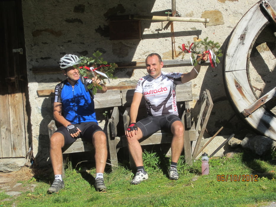
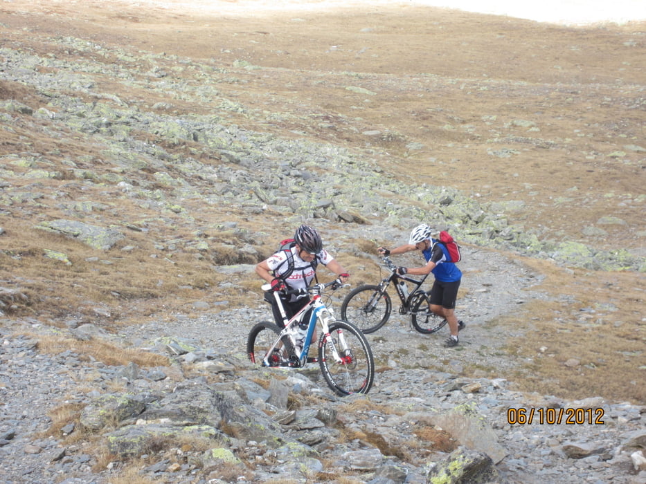
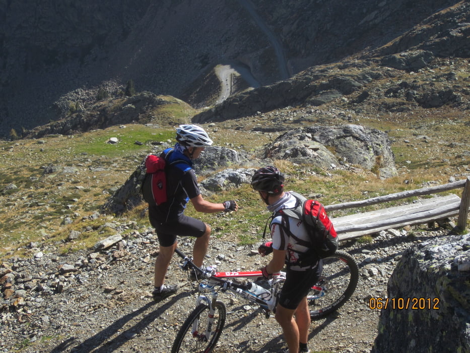
  •  

Galeria trasy

Mapa trasy i profil wysokości

  • Open Street Map
  • Google
Minimum height 233 m Maximum height 2518 m Widok szczegółowy

More about the tour author

MargesinFriedrich
Member since 2012

Send private message

Komentarze

Start: Meran/Marling, öffentlicher Parkplatz Piccolo Hotel an der Marlinger Brücke.

GPS tracks

Trackpoints
  • GPX / Garmin Map Source (gpx) download
  • TCX / Garmin Training Center® (tcx) download
  • CRS / Garmin Training Center® (crs) download
  • Google Earth (kml) download
  • G7ToWin (g7t) download
  • TTQV (trk) download
  • Overlay (ovl) download
  • Fugawi (txt) download
  • Kompass (DAV) Track (tk) download
  • Karta trasy (pdf) download
  • Original file of the author (gpx) download

More about the tour author

MargesinFriedrich
Member since 2012

Send private message
Share track
Add to my favorites
Remove from my favorites
Edit tags
My score
Rate
Trasa: Meran-Latsch-Tarscherpass-Ulten-Meran
Rodzaj: Rower górski (MTB)
Długość: 79,4 km
Evaluated on:
Czas trwania:
Day(s)
Hour(s)
Minute(s)
Ocena: Krajobraz Czynnik zadowolenia Kondycja Technika