


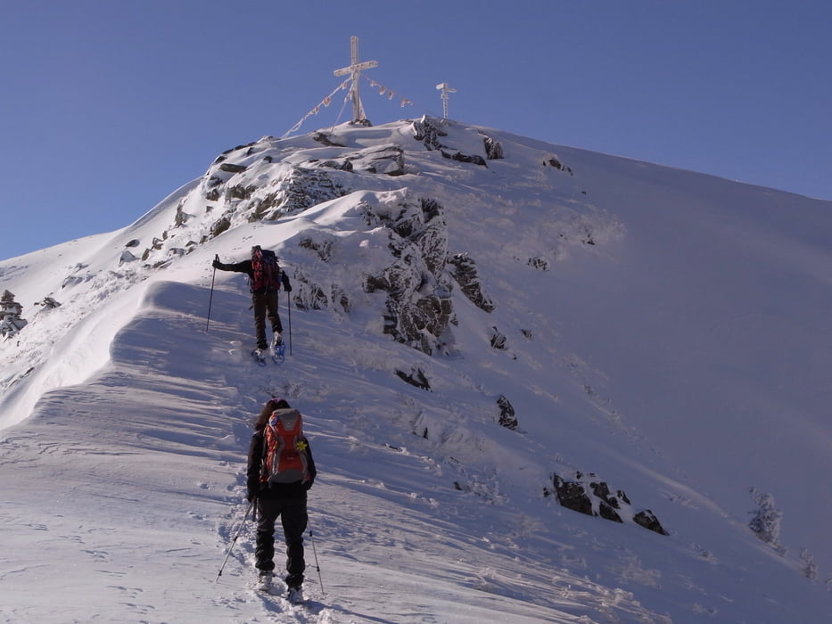
Von der Schwarzwasserhütte in Süd/östlicher Richtung zum Steinmandl aufsteigen. Super Aussicht, wir hatten aber auch fantastische Bedingungen. Abstieg zum Neuhornbachhaus ( bei ausreichender Schneelage geht´s auch über ein Kuhstalldach :) ). Dort einen Einkehrschwung und die Aussicht von der Terrasse genießen. Jetzt kommt ein langer aber abgenehmer Anstieg zur Breitenalpe und weiter zum Falserkopf. Von dort zum Gerachsattel und zurück zur Schwarzwasserhütte. Alles in allem ein super Tour, gute Kondition ist erforderlich und erhöht den Spaßfaktor
Galeria trasy
Mapa trasy i profil wysokości
Minimum height 1591 m
Maximum height 1975 m
More about the tour author

|
Chef_Wolfgang |
Komentarze

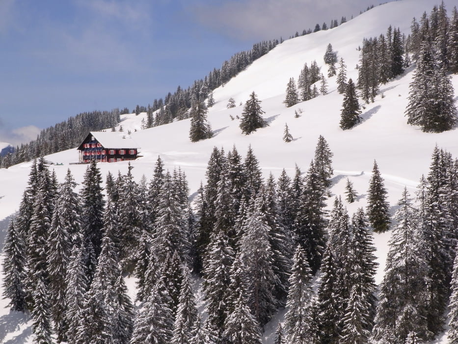
Kleinwalsertal, Ifen, Auenhütte. Aufstieg über die Melköde zum Schwarzwasserhaus ca. 2 - 2,5 Std.
GPS tracks
Trackpoints-
GPX / Garmin Map Source (gpx) download
-
TCX / Garmin Training Center® (tcx) download
-
CRS / Garmin Training Center® (crs) download
-
Google Earth (kml) download
-
G7ToWin (g7t) download
-
TTQV (trk) download
-
Overlay (ovl) download
-
Fugawi (txt) download
-
Kompass (DAV) Track (tk) download
-
Karta trasy (pdf) download
-
Original file of the author (gpx) download
More about the tour author
|
|
Chef_Wolfgang |
Add to my favorites
Remove from my favorites
Edit tags
Open track
My score
Rate