


- Halbtagestour auch für kühlere Jahreszeiten geeignet.(5.1.2013 gefahren).
- Beginn des Anstiegs über Algund durch Nebenwegen und Gassen um den historischen Orts-kern besser kennenzulernen. Ca. 300 mt. steiler Anstieg über Kopfsteinpflaster.Höchster Punkt beim Gasthof Kienegger.(Super Kuchen).
- Abfahrt nach Algund über einen für Biker gesperrten Fussweg.(Nebensaison wenig frequentiert).
- Von Algund zur Töll Abfahrt durch Obstwiesen nach Algund.
- Von Algund über die Panoramastrasse mit herrlichem Ausblick auf Meran, nach Marling zum Ausgangspunkt.
- Zum Abschluss einen Macchiato bei Magda und Kathi im Wintergarten des Gasthof Traubenwirt neben der Kirche im Dorfzentrum von Marling.
- NB. Fahrtrichtung gegen den UHRZEIGERSINN:
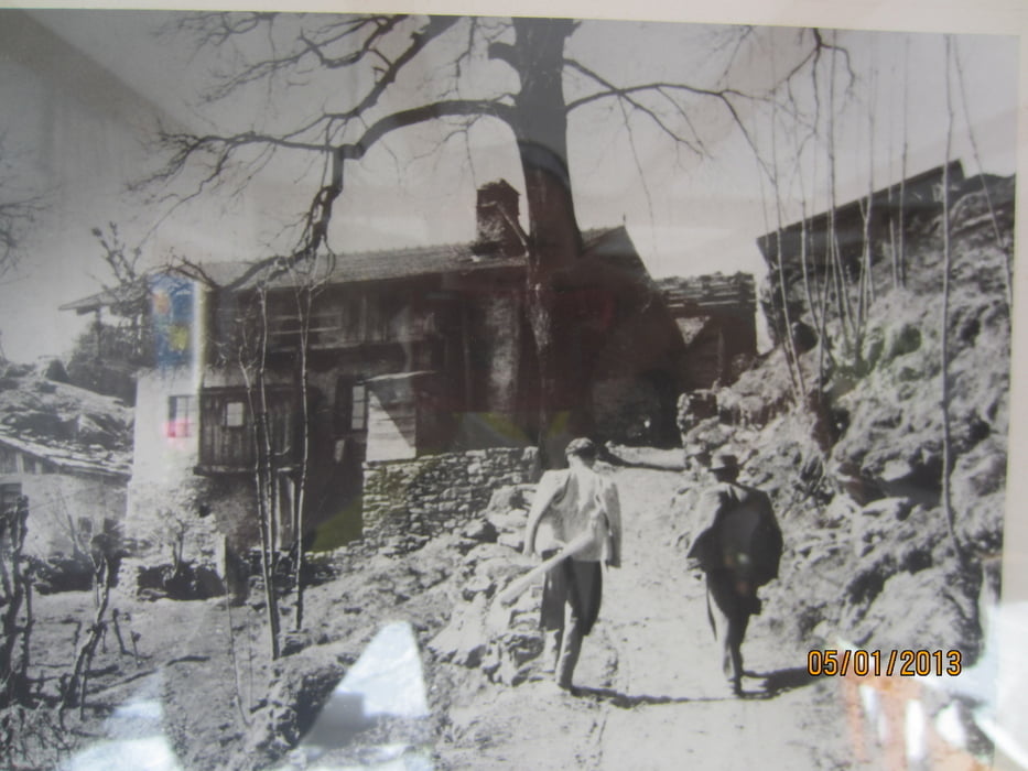
Galeria trasy


Mapa trasy i profil wysokości
Minimum height 203 m
Maximum height 1105 m
More about the tour author
|
|
MargesinFriedrich |
Komentarze

Start vom öffentlichen Parkplatz beim Piccolo Hotel neben der Marlinger Brücke.
GPS tracks
Trackpoints-
GPX / Garmin Map Source (gpx) download
-
TCX / Garmin Training Center® (tcx) download
-
CRS / Garmin Training Center® (crs) download
-
Google Earth (kml) download
-
G7ToWin (g7t) download
-
TTQV (trk) download
-
Overlay (ovl) download
-
Fugawi (txt) download
-
Kompass (DAV) Track (tk) download
-
Karta trasy (pdf) download
-
Original file of the author (gpx) download
More about the tour author
|
|
MargesinFriedrich |
Add to my favorites
Remove from my favorites
Edit tags
Open track
My score
Rate