Login

Zapomniałeś swój login?

Cookies have to be accepted!
Your browser's cookie functionality is disabled. Please enable this functionality.

Not a member yet?

Register now
Login

Available for registred users only

Log in to use this feature.

Zapomniałeś swój login?

Cookies have to be accepted!
Your browser's cookie functionality is disabled. Please enable this functionality.

Not a member yet?

Register now
Filter
Kategorie
Advanced filters
  • Długość (km)
  • Wysokość
Zapisz filtr Reset filter

TrackRank

QRCode

Technical data

Długość64,6 km Wysokość1541 m Way down2428 m Czas trwania3 days 0 h Data06.01.2013
Oceny Author User Krajobraz Czynnik zadowolenia Kondycja Technika

Statystyka

190 Widoki Oceny 28 Downloads / Pliki do pobrania Przeciętnie
Rate
  • Karta trasy
  • Dojazd
  • Downloads / Pliki do pobrania

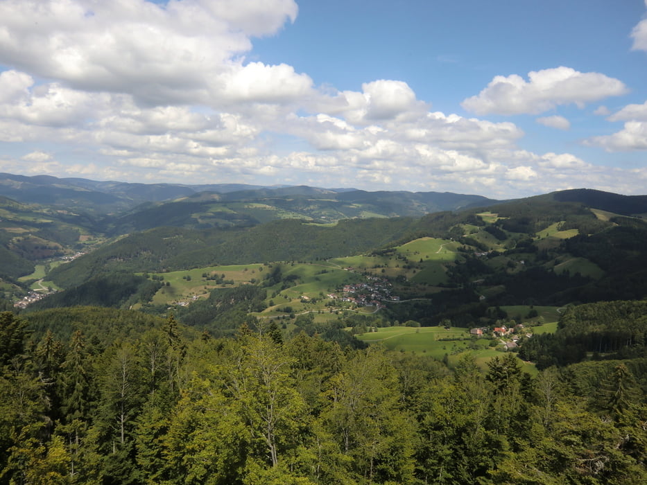
Etappe 15 (Feldberg-Pass -> Todtmoos, 22,4 km)

Etappe 16 (Todtmoos -> Hasel, 23,3 km)

Etappe 17 (Hasel -> Rheinfelden, 18,8 km)


Mapa trasy i profil wysokości

  • Open Street Map
  • Google
Minimum height 287 m Maximum height 1373 m Widok szczegółowy

More about the tour author

gst-fr
Member since 2009

Send private message

Komentarze

GPS tracks

Trackpoints
  • GPX / Garmin Map Source (gpx) download
  • TCX / Garmin Training Center® (tcx) download
  • CRS / Garmin Training Center® (crs) download
  • Google Earth (kml) download
  • G7ToWin (g7t) download
  • TTQV (trk) download
  • Overlay (ovl) download
  • Fugawi (txt) download
  • Kompass (DAV) Track (tk) download
  • Karta trasy (pdf) download
  • Original file of the author (gpx) download

More about the tour author

gst-fr
Member since 2009

Send private message
Share track
Add to my favorites
Remove from my favorites
Edit tags
My score
Rate
Trasa: Westweg Feldberg - Rheinfelden (3T)
Rodzaj: Wędrówki
Długość: 64,6 km
Evaluated on:
Czas trwania:
Day(s)
Hour(s)
Minute(s)
Ocena: Krajobraz Czynnik zadowolenia Kondycja Technika