
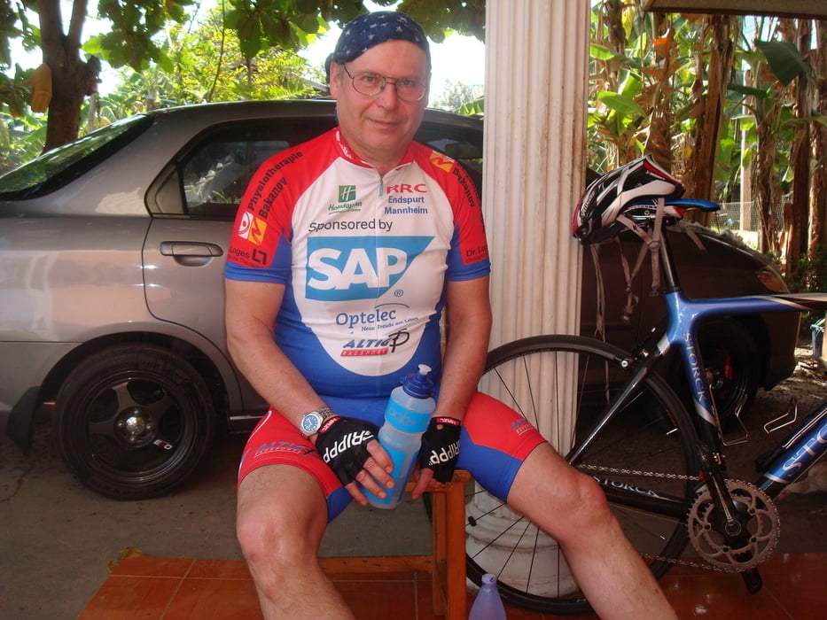

Die Tour beginnt am Haus meiner Schwigereltern in Baan-Samko inmitten von Reisfeldern. Es ist sehr eben, die Straßen sind erstaunlicherweise hervorragend. Zuerst geht es nach Osten bis zum Bahnhof Sikhoraphum. Auf der Strecke sind einige malerische Thaidörfer mit immer freundlichen Menschen, die beim training oft anfeuern. Zurück geht es auf der gleichen Strecke bis nach Kwao Sinarin bis zur Nationalstraße 218. Auf diesen Straßen ist zu viel Verkehr, Rennrad fahren macht dort wenig Sinn. Auf dem Rückweg noch ein Abstecher zur Polizeistation Sinarin, die sehr freundlichen Polizisten boten mir in den Folgetagen sogar Eskorte.
Further information at
https://de.wikipedia.org/wiki/Amphoe_Khwao_SinarinGaleria trasy


Mapa trasy i profil wysokości
Minimum height 136 m
Maximum height 162 m
More about the tour author
|
|
baan-samko |
Komentarze

GPS tracks
Trackpoints-
GPX / Garmin Map Source (gpx) download
-
TCX / Garmin Training Center® (tcx) download
-
CRS / Garmin Training Center® (crs) download
-
Google Earth (kml) download
-
G7ToWin (g7t) download
-
TTQV (trk) download
-
Overlay (ovl) download
-
Fugawi (txt) download
-
Kompass (DAV) Track (tk) download
-
Karta trasy (pdf) download
-
Original file of the author (gpx) download
More about the tour author
|
|
baan-samko |
Add to my favorites
Remove from my favorites
Edit tags
Open track
My score
Rate