
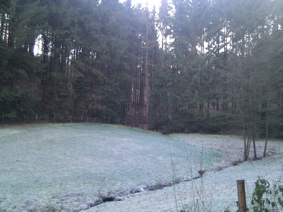

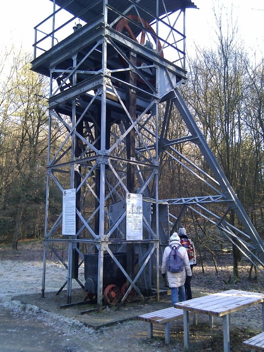
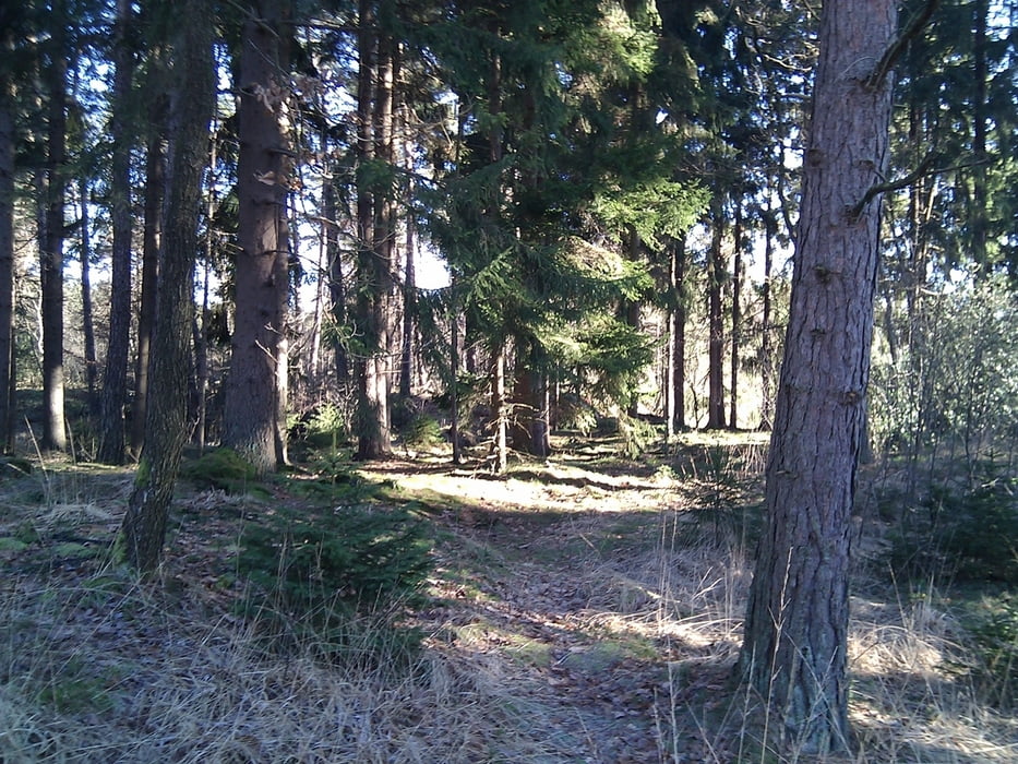
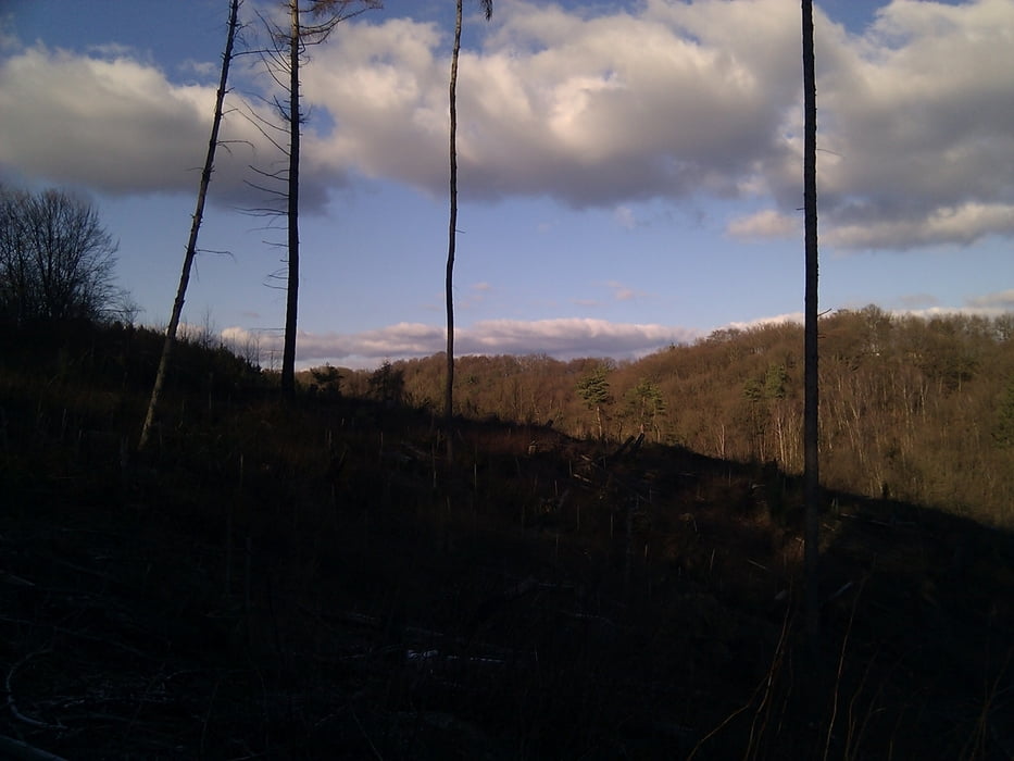
Eine sehr schöne Wanderung aus dem Rother Wanderführer "Bergisches Land" (Tour 19). Die Landschaft wechselt zwischen tollen Ausblicken über das Tal bishin zu kleinen Dörfchen einzelnen Siedlungen und viel Wald. Eine sehr zu empfehlende Wanderung auf der einem nette, freundliche Menschen begegnen.
Galeria trasy

Mapa trasy i profil wysokości
Minimum height 45 m
Maximum height 247 m
More about the tour author

|
TobyDean |
Komentarze

Parken kann man, zumindest außerhalb der Saison, auf dem Parkplatz des Freibades in Hoffnungsthal. Man sollte von der Autobahn kommend immer schon auf die Hinweisschilder zum Parkplatz Freibad achten, da man sie schnell übersehen kann.
GPS tracks
Trackpoints-
GPX / Garmin Map Source (gpx) download
-
TCX / Garmin Training Center® (tcx) download
-
CRS / Garmin Training Center® (crs) download
-
Google Earth (kml) download
-
G7ToWin (g7t) download
-
TTQV (trk) download
-
Overlay (ovl) download
-
Fugawi (txt) download
-
Kompass (DAV) Track (tk) download
-
Karta trasy (pdf) download
-
Original file of the author (gpx) download
More about the tour author
|
|
TobyDean |
Add to my favorites
Remove from my favorites
Edit tags
Open track
My score
Rate