
")

Schöne Gebirgs-Wandertrainingstour mit einigen Höhenmetern, das Gelände ist im letzten Abschnitt überraschend anspruchsvoll. Leichte Wanderschuhe sind deshalb ratsam.
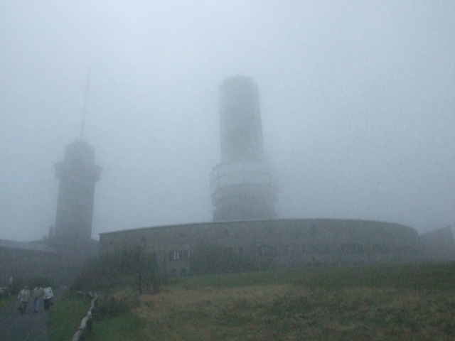
Die Tour startet auf dem Parkplatz Hohemark/ Oberursel, geht dann über den "Japanerweg", Sandplacken (Futterstelle), Großer Feldberg (Futterstelle), Fuchstanz (Futterstelle) und dann wieder zurück nach Hohemark.
Die Ausschilderungen des Taunusklubs weisen auf einem großen Teil der Route den Weg.
Die Tour ist auch mit MTB befahrbar.
Galeria trasy
Mapa trasy i profil wysokości
Minimum height 305 m
Maximum height 876 m
More about the tour author

|
Komentarze

Mit www.rmv.de nach Oberursel (Taunus)-Hohemar oder mit Navi in die Alfred Lechler Straße zum Parkplatz.
GPS tracks
Trackpoints-
GPX / Garmin Map Source (gpx) download
-
TCX / Garmin Training Center® (tcx) download
-
CRS / Garmin Training Center® (crs) download
-
Google Earth (kml) download
-
G7ToWin (g7t) download
-
TTQV (trk) download
-
Overlay (ovl) download
-
Fugawi (txt) download
-
Kompass (DAV) Track (tk) download
-
Karta trasy (pdf) download
-
Original file of the author (gpx) download
More about the tour author
|
|
Add to my favorites
Remove from my favorites
Edit tags
Open track
My score
Rate