


Rondwandeling door de Blerickse Bergen, waarbij u o.a. langs een oude Maasarm en een nieuwe natuurbegraafplaats wandelt. Een klein gedeelte van deze route loopt parallel aan de jubileumroute "Napoleonspad" van Regio Limburg van de KNBLO Wandelsportorganisatie NL. U kunt deswenst de route inkorten door na de pauze te stoppen met de route.
Voor meer informatie over het Napoleonspad, klik op: http://www.wandel.nl/wandelroute/grubbenvorst-weert-napoleonspad-1-1--31-dec-2013?back=%2Foverzicht%2Dwandelroutes%3Fpage%3D1
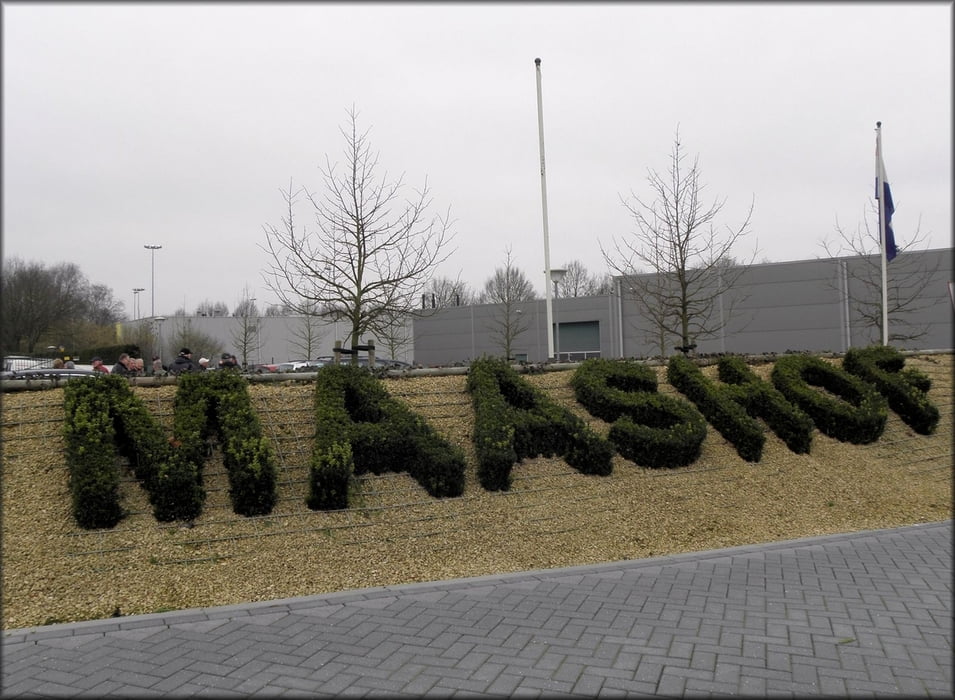
Start- en pauzeplaats: parkeerplaats van restaurant
Maashof
Maashoflaan 1
5927 PV Boekend - Venlo
T. (+31) (0)77-39 69 309
F. (+31) (0)77-39 69 310
info@maashof.com
http://www.maashof.com
Galeria trasy
Mapa trasy i profil wysokości
Minimum height 8 m
Maximum height 44 m
More about the tour author
|
|
boskwa12 |
Komentarze

GPS tracks
Trackpoints-
GPX / Garmin Map Source (gpx) download
-
TCX / Garmin Training Center® (tcx) download
-
CRS / Garmin Training Center® (crs) download
-
Google Earth (kml) download
-
G7ToWin (g7t) download
-
TTQV (trk) download
-
Overlay (ovl) download
-
Fugawi (txt) download
-
Kompass (DAV) Track (tk) download
-
Karta trasy (pdf) download
-
Original file of the author (gpx) download
More about the tour author
|
|
boskwa12 |
Add to my favorites
Remove from my favorites
Edit tags
Open track
My score
Rate