
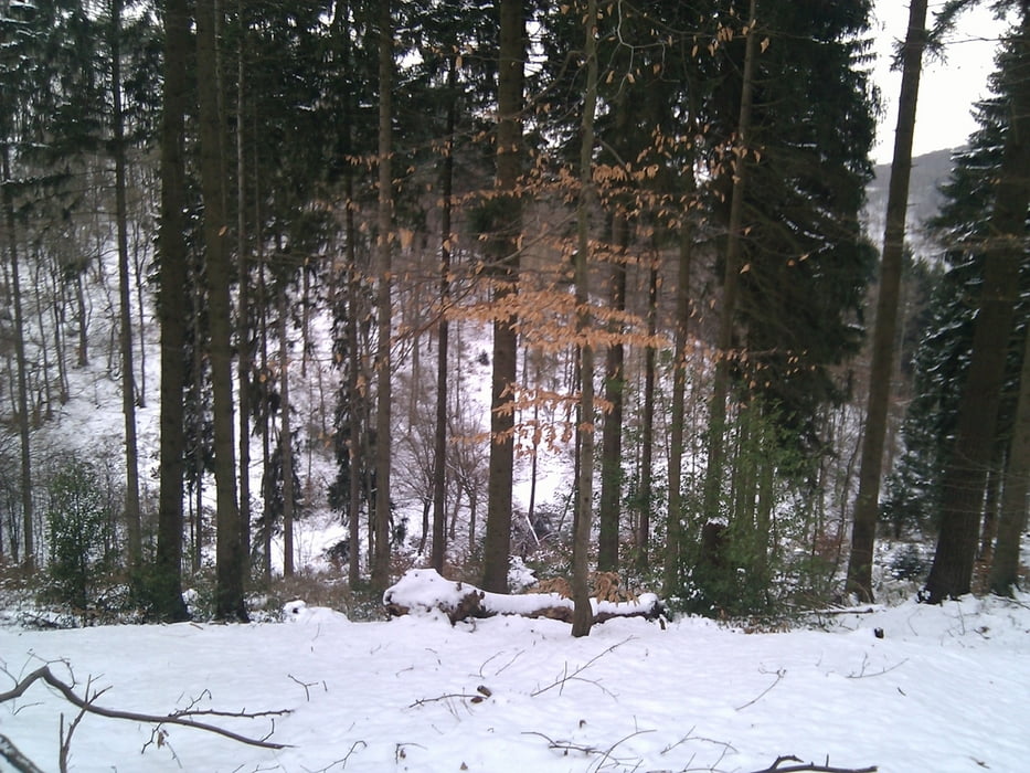

Sehr empfehlenswerte Tour. Angelehnt an die Route 1 des Wanderführers "20 Wanderungen um Solingen/Remscheid" haben wir uns an einem schönen WIntertag bei -6 Grad auf die Runde begeben und sind nicht enttäuscht worden. Nur an einer Stelle mussten wir den Weg verändern, weil er nicht wie im Wanderführer beschrieben verlaufen ist und gesperrt war. Wir haben bei dieser kleinen Änderung aber wunderschöen Wege gesehen, die eine wahre Augenweide waren. Schnee und Nadelwald passen einfach hervorragend zusammen.
Galeria trasy


Mapa trasy i profil wysokości
Minimum height 128 m
Maximum height 328 m
More about the tour author

|
TobyDean |
Komentarze

Parken kann man in der Nähe oder am Bahnhof Schaberg in Solingen. Für die Anfahrt einfach den Schildern zum Schaberg in eine Sackgasse folgen.
GPS tracks
Trackpoints-
GPX / Garmin Map Source (gpx) download
-
TCX / Garmin Training Center® (tcx) download
-
CRS / Garmin Training Center® (crs) download
-
Google Earth (kml) download
-
G7ToWin (g7t) download
-
TTQV (trk) download
-
Overlay (ovl) download
-
Fugawi (txt) download
-
Kompass (DAV) Track (tk) download
-
Karta trasy (pdf) download
-
Original file of the author (gpx) download
More about the tour author
|
|
TobyDean |
Add to my favorites
Remove from my favorites
Edit tags
Open track
My score
Rate