Login

Zapomniałeś swój login?

Cookies have to be accepted!
Your browser's cookie functionality is disabled. Please enable this functionality.

Not a member yet?

Register now
Login

Available for registred users only

Log in to use this feature.

Zapomniałeś swój login?

Cookies have to be accepted!
Your browser's cookie functionality is disabled. Please enable this functionality.

Not a member yet?

Register now
Filter
Kategorie
Advanced filters
  • Długość (km)
  • Wysokość
Zapisz filtr Reset filter

TrackRank

QRCode

Technical data

Długość399,4 km Wysokość3036 m Way down3143 m Czas trwania6 days 0 h Data19.01.2013
Oceny Author Krajobraz Czynnik zadowolenia Kondycja Technika

Statystyka

340 Widoki 1 Ocena 29 Downloads / Pliki do pobrania 4.00 Przeciętnie
Rate
  • Karta trasy
  • Dojazd
  • Downloads / Pliki do pobrania

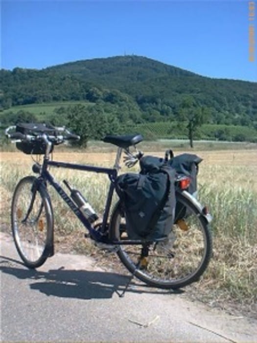
Es handelt sich hier um eine Tour von ursprünglich 7 Etappen, die aber, bedingt durch das "gute Wetter" auf 6 Tagesetappen gekürzt wurde.

Überwiegend fuhren wir auf Nebenstraßen mit wenig Verkehr, bzw. hatten Fahrrad- , Wald- und Wirtschaftswege.  In Salzburg fuhren wir direkt durch die Getreidegasse.
 

Wir (7 Männer 1x>70 Jahre / 1x>60 J. / 3x>50 J./ 1x>40 J./ 1x>30) haben ein Begleitfahrzeug dabei, dass uns am Ende der Gesamttour wieder gesund nach Hause bringt.


Further information at

http://www.biketripps.de

Mapa trasy i profil wysokości

  • Open Street Map
  • Google
Minimum height 411 m Maximum height 980 m Widok szczegółowy

More about the tour author

JN
Member since 2009

Send private message

Komentarze

GPS tracks

Trackpoints
  • GPX / Garmin Map Source (gpx) download
  • TCX / Garmin Training Center® (tcx) download
  • CRS / Garmin Training Center® (crs) download
  • Google Earth (kml) download
  • G7ToWin (g7t) download
  • TTQV (trk) download
  • Overlay (ovl) download
  • Fugawi (txt) download
  • Kompass (DAV) Track (tk) download
  • Karta trasy (pdf) download
  • Original file of the author (gpx) download

More about the tour author

JN
Member since 2009

Send private message
Share track
Add to my favorites
Remove from my favorites
Edit tags
My score
Rate
Trasa: 2013 Chiemgau / Salzkammergut
Rodzaj: Rower trekkingowy
Długość: 399,4 km
Evaluated on:
Czas trwania:
Day(s)
Hour(s)
Minute(s)
Ocena: Krajobraz Czynnik zadowolenia Kondycja Technika