Login

Zapomniałeś swój login?

Cookies have to be accepted!
Your browser's cookie functionality is disabled. Please enable this functionality.

Not a member yet?

Register now
Login

Available for registred users only

Log in to use this feature.

Zapomniałeś swój login?

Cookies have to be accepted!
Your browser's cookie functionality is disabled. Please enable this functionality.

Not a member yet?

Register now
Filter
Kategorie
Advanced filters
  • Długość (km)
  • Wysokość
Zapisz filtr Reset filter

TrackRank

QRCode

Technical data

Długość9,3 km Wysokość321 m Way down310 m Czas trwania02:30 h:m Data19.01.2013
Oceny Author User Krajobraz Czynnik zadowolenia Kondycja Technika

Statystyka

542 Widoki 1 Ocena 67 Downloads / Pliki do pobrania 3.00 Przeciętnie
Rate
  • Karta trasy
  • Dojazd
  • Downloads / Pliki do pobrania

Schöne Tour in der Ochsenkopfregion, mit Einkehrmöglichkeit am Gipfel. Achtung eine Teilstrecke führt über eine Loipe, bitte am Rand laufen.

Viel Schnee und Spass!!!
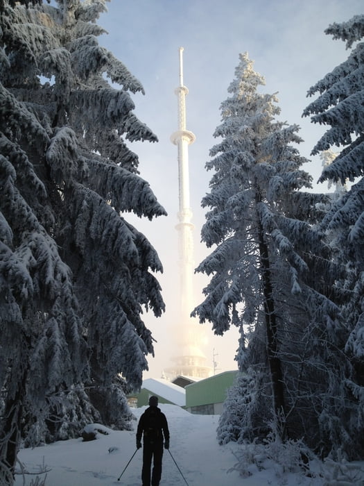
 

Galeria trasy

Mapa trasy i profil wysokości

  • Open Street Map
  • Google
Minimum height 744 m Maximum height 1021 m Widok szczegółowy

More about the tour author

berndhuber
Member since 2008

Send private message

Komentarze

A9  > Bayreuth nord > B303 > Fleckl


GPS tracks

Trackpoints
  • GPX / Garmin Map Source (gpx) download
  • TCX / Garmin Training Center® (tcx) download
  • CRS / Garmin Training Center® (crs) download
  • Google Earth (kml) download
  • G7ToWin (g7t) download
  • TTQV (trk) download
  • Overlay (ovl) download
  • Fugawi (txt) download
  • Kompass (DAV) Track (tk) download
  • Karta trasy (pdf) download
  • Original file of the author (gpx) download

More about the tour author

berndhuber
Member since 2008

Send private message
Share track
Add to my favorites
Remove from my favorites
Edit tags
My score
Rate
Trasa: vom Täfelein zum Ochsenkopf
Rodzaj: Rakiety śnieżne
Długość: 9,3 km
Evaluated on:
Czas trwania:
Day(s)
Hour(s)
Minute(s)
Ocena: Krajobraz Czynnik zadowolenia Kondycja Technika